What is recorded here
Marked as a circular enclosure (diam. c. 25m) on the 1837 and 1930 eds of the OS 6-inch map, and situated on a gentle S-facing slope. It is not visible at ground level in reclaimed pasture. Rath (RO028-162----) is c. 100m to the NE.
Compiled by: Michael Moore
Date of upload: 24 August 2010
The monument record does not grant public access. Check the route and ask the landowner before entering private land.
- What survives
- Recorded monument
Places near here
 IndicatedFairy fort / earthen ringfort · 358 yd
 Enclosure in Ballyglass (roscommon By.)Enclosure · 417 yd
 Embanked enclosureCastle, unclassified · 565 yd
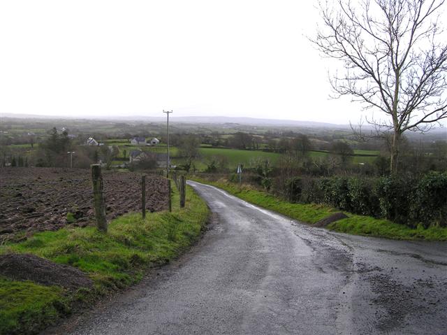 RoadRoad, road/trackway · 623 yd
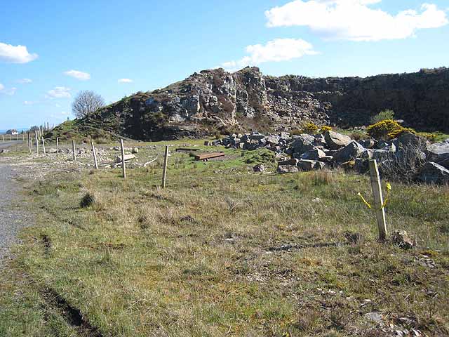 Quarry in BallydalyQuarry · 866 yd
 Leitrim CastleCastle, unclassified · 2.3 mi
 Cruachan Aí Heritage CentreMuseum · 3.1 mi
 ToberagullaSpring · 3.6 mi
 European ashEuropean ash · 3.6 mi
 Common LimeCommon Lime · 5.2 mi
 Strokestown House GardensHeritage attraction · 5.3 mi
 FerrinchIslet · 9.7 mi