What is recorded here
In pasture, located on top of a ridge, at its N end. Ground falls away to E, with gentler slopes to N and W. The location provides good views, especially N–E.
This possible rath is shown on the 1838 OS 6-inch map as a circular ringfort-like enclosure (diam. 25-30m). It is not shown on the 1930 edition, but a curving field boundary is indicated at the location. The E arc of the enclosure may be preserved in the line of an overgrowth-covered field fence, which curves NE–SE; otherwise, there is no visible trace at ground level.
Compiled by: Jane O’Shaughnessy
Date of upload: 13 September 2019
This remains an important historical record, but the official description says the monument is no longer visible or has been destroyed. The monument record does not grant public access. Check the route and ask the landowner before entering private land.
- What survives
- No visible remains or recorded as destroyed
Places near here
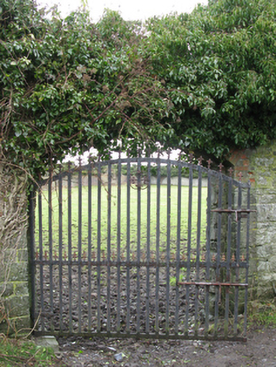 Carrowmore Housewalled garden · 981 yd
 Church in ruinsChurch · 1135 yd
 Enclosure in Rathbaun (tirawley By., Kilbelfad Par.)Enclosure · 1429 yd
 Dermot & Graine's BedArchaeological place · 1.0 mi
 Castle Kelly (in Ruins)Castle, motte · 1.8 mi
 CastleCastle, tower house · 2.1 mi
 Gull IslandIslet · 2.1 mi
 Battle of Ballinabattle · 2.4 miHumbert MonumentMemorial · 2.8 mi
 Roe IslandIslet · 3.4 mi
 The Marshall Doran CollectionGallery · 3.9 mi
 Belleek WoodsWood · 4.0 mi