
What is recorded here
In average, undulating pasture, located on a slight rise. This church is depicted on the 1837 OS 6-inch map as a rectangular building, marked ‘Church in ruins’; on the 1930 edition, a cross or ‘site of’ symbol is shown, enclosed within a hachured, sub-circular area, annotated ‘Church (Site of)’.
A low, grass-covered rectangular rise (c. 13m N–S; c. 23m E–W) is evident at the location, which appears to incorporate the foundations of the levelled church. It is defined around the perimeter by a slight raised rim (Wth c. 2.5m; int. H 0.4m; ext. H 0.5m), from which stones protrude, and stones break through the sod also in the interior area. The perimeter is broadly slumped (Wth 3-4m) at N and E. A field fence skirts the W end of the site.
Compiled by: Jane O'Shaughnessy
Date of upload: 12 December 2017
The monument record does not grant public access. Check the route and ask the landowner before entering private land.
- What survives
- Recorded monument
Places near here
 Church (in Ruins)Church · 1091 yd
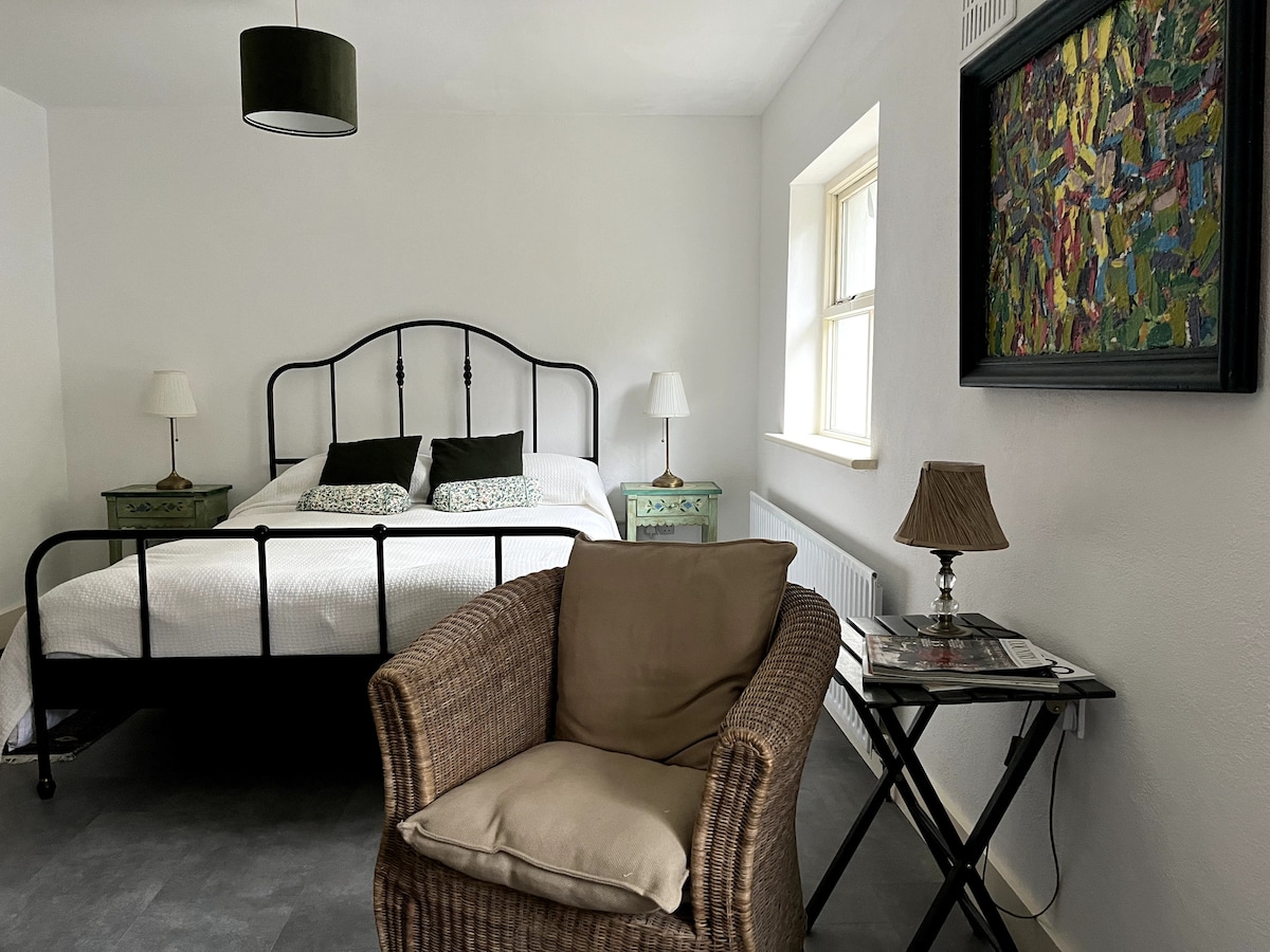 Dermot & Graine's BedArchaeological place · 1339 yd
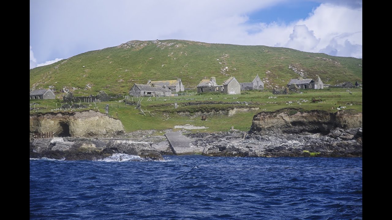 IndicatedFairy fort / earthen ringfort · 1.0 mi
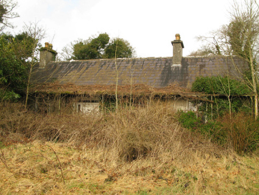 Coolcran Cottagefarm house · 1.2 mi
 CastleCastle, tower house · 1.7 mi
 Deel CastleCastle · 1.8 mi
 Battle of Ballinabattle · 2.1 miHumbert MonumentMemorial · 2.6 mi
 Gull IslandIslet · 2.7 mi
 The Marshall Doran CollectionGallery · 3.5 mi
 Belleek WoodsWood · 3.6 mi
 Roe IslandIslet · 3.7 mi
Other information
Photo: Credit not shown in the picture search · Rights wording not checked; contact us if this picture should be removed