What is recorded here
Indicated is a fairy fort or earthen ringfort in Cloonskeeveen, County Roscommon, Ireland. The subcircular grass-covered area sits towards the top of a drumlin slope and contains a gapped earthen bank with trees but no visible entrance. Two other raths stand within 200m to the east and southeast.
Towards the top of the NW-facing slope of a drumlin. Subcircular grass-covered area (dims. 31m E-W; 27m N-S) defined by a gapped earthen bank (Wth 1.5m at W to 2.3m at E; int. H 0.2m generally to 0.65m at NE and SE; ext. H 0.6m at W to 1.3m at NE) with trees which is reduced to a scarp (H 0.65-0.9m) at WNW and N and incorporated into a field bank SE-S. There is no visible fosse or entrance. Rath (RO011-024----) is c. 170m to ENE, and rath (RO011-026----) is c. 190m to the SE.
Compiled by: Michael Moore
Date of upload: 24 August 2010
The monument record does not grant public access. Check the route and ask the landowner before entering private land.
- What survives
- Recorded monument
Places near here
 Embanked enclosureFairy fort / earthen ringfort · 815 yd
 IndicatedFairy fort / earthen ringfort · 858 yd
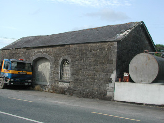 Carrick-on-Shannon Railway Stationstore/warehouse · 913 yd
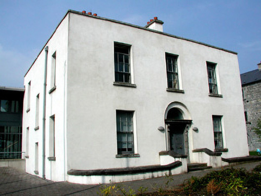 Áras an Chontaeprison governor's house · 990 yd
 Moon RiverHeritage attraction · 1309 yd
 Hughestown WoodForest · 2.0 mi
 CastlecarraCastle, unclassified · 2.1 mi
 Patrick Gill Memorial Plaque (IRA)Monument · 4.4 mi
 Castle (Site of)Castle, unclassified · 4.4 mi
 Robert Strawbridge MemorialMemorial · 4.4 mi
 Wildlife AreaNature reserve · 4.6 mi
 Leabaidh DermotCave · 5.1 mi