What is recorded here
A long rectangular building (dims. c. 20m E-W; c. 8m N-S) of two rooms and roofless is marked on the 1837 ed. of the OS 6-inch map, situated on a gentle W-facing slope. It is not visible at ground level, and there is no local information about its significance or character.
Compiled by: Michael Moore
Date of upload: 24 August 2010
The monument record does not grant public access. Check the route and ask the landowner before entering private land.
- What survives
- Recorded monument
Places near here
 St Bridgets WellHoly well · 158 yd
 Ecclesiastical enclosure in BallinaboyEcclesiastical enclosure · 552 yd
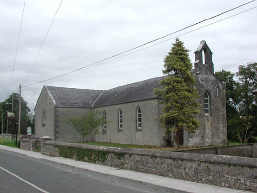 Kilteevan Community Centrechurch/chapel · 1136 yd
 Church (in Ruins)Church · 1437 yd
 CastleCastle, unclassified · 1.8 mi
 Big IslandForest · 2.6 mi
 Derrydonnell ForestForest · 2.9 mi
 Roscommon CastleCastle · 3.0 mi
 FerrinchIslet · 3.2 mi
 Bushy IslandIslet · 3.9 mi
 Cruit BayBay · 4.5 mi
 Hangman's HillMountain / peak · 4.7 mi