
What is recorded here
Towards the bottom of a S-facing slope. A small rectangular enclosure (RO040-014001-) known locally as St Ronan's church is within a circular enclosure (diam. c. 60m) defined by a slight scarp (Fanning 1979-80), but neither survives.
Compiled by: Michael Moore
Date of upload: 24 August 2010
The monument record does not grant public access. Check the route and ask the landowner before entering private land.
- What survives
- Recorded monument
Places near here
 St Bridgets WellHoly well · 566 yd
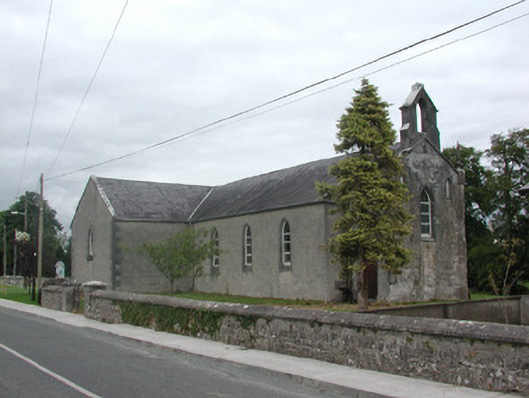 Kilteevan Community Centrechurch/chapel · 1514 yd
 Enclosure in Cartron (coote)Enclosure · 1737 yd
 Church (in Ruins)Church · 1.1 mi
 CastleCastle, unclassified · 1.5 mi
 Big IslandForest · 2.5 mi
 Roscommon CastleCastle · 2.8 mi
 Derrydonnell ForestForest · 2.8 mi
 FerrinchIslet · 3.5 mi
 Bushy IslandIslet · 4.2 mi
 Cruit BayBay · 4.7 mi
 Hangman's HillMountain / peak · 4.8 mi
Other information
Photo: Credit not shown in the picture search · Rights wording not checked; contact us if this picture should be removed