
What is recorded here
The parish church of Kilteevan is situated on a gentle S-facing slope. It was impropriate to the abbey of Cloontuskert at the Suppression (O'Flanagan 1931, vol. 1, 49). Rectangular structure (int. dims 11.3m E-W; 6.3m N-S), of which only the E wall with an elaborate single-light (Wth 0.4m) cusped ogee-headed window (Leask 1943, 150-1) and an aumbry, and the N wall (H 3.25m) with a blocked and probably inserted window (Wth 0.5m; H 1.3m) towards its E end survive complete. The E end of the S wall with a simple light (H 1.2m) also survives, and the W wall (max. H 1.3m) is featureless. The church is at the N end of a raised oval graveyard (RO040-032002-) (dims c. 80m N-S; c. 56m E-W) defined by a stone-clad scarp (H 0.4m at N to 1.7m at S). The head of a cross, probably a finial cross, was found in the graveyard in 1989. (Ryan 1992; 1997, 227)
See the attached images of the E window from W (002) and E (001)
Compiled by: Michael Moore
Date of upload: 24 August 2010
The monument record does not grant public access. Check the route and ask the landowner before entering private land.
- What survives
- Recorded monument
Places near here
 Church in Clooncah (ballintober South By.)Church · 643 yd
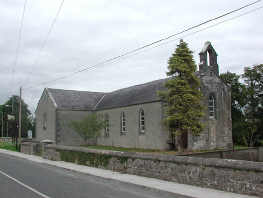 Kilteevan Community Centrechurch/chapel · 810 yd
 AltarMass-rock · 822 yd
 CrossCross, Wayside cross · 1147 yd
 FerrinchIslet · 2.6 mi
 CastleCastle, unclassified · 2.6 mi
 Big IslandForest · 2.7 mi
 Lower WoodForest · 2.8 mi
 Bushy IslandIslet · 3.1 mi
 Roscommon CastleCastle · 3.6 mi
 Cruit BayBay · 3.7 mi
 Hangman's HillMountain / peak · 4.1 mi
Other information
Photo: Credit not shown in the picture search · Rights wording not checked; contact us if this picture should be removed