What is recorded here
Situated on a level landscape. This house is represented on the 1835 and 1907 OS 6-inch map as an occupied house and is probably eighteenth century in date, but it was roofless in 1999 (SMR file). It is a rectangular one storey structure (ext. dims 17.2m E-W; 6.55m N-S) with attics at the E and W gables. It is built with masonry walls, and survives complete except the S wall which had been largely removed. It was of five bays, one a doorway on the N side, with timber lintels, now removed, in the window embrasures. There were small fireplaces in each gable. It had been removed by 2012 (OSAP).
Compiled by Michael Moore
Date of upload: 18 October 2010
Amended: 7 January 2020
The monument record does not grant public access. Check the route and ask the landowner before entering private land.
- What survives
- Recorded monument
Places near here
 Church (in Ruins)Church · 405 yd
 Grave YardGraveyard · 408 yd
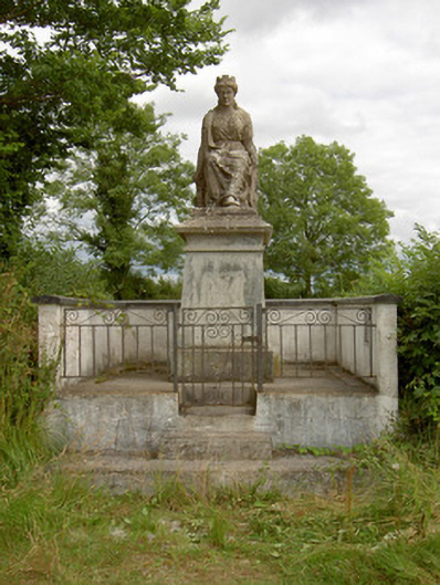 monumentmonument · 1067 yd
 StructureStructure, peatland · 1.0 mi
 Rabbit IslandIslet · 2.0 mi
 Pigeon IslandIslet · 2.4 mi
 CastleCastle, unclassified · 2.7 mi
 Cavan & Leitrim RailwayMuseum · 3.2 mi
 St. Barry's WellSpring · 3.3 mi
 Bawn in Castleforbes DemesneBawn · 3.5 mi
 Lebanon CedarLebanon Cedar · 3.5 mi
 Common LimeCommon Lime · 3.8 mi