
Places near here
Photo credits
- National Inventory of Architectural Heritage
- David Perez, Wikimedia Commons · CC BY 3.0
- Willow, Wikimedia Commons · CC BY 2.5
- Kmcnamee, Wikimedia Commons · CC BY-SA 4.0
- GTD Aquitaine, Wikimedia Commons · Public domain
- Golfing in Ireland; photographer not stated, Source publisher
- A.-K. D., Wikimedia Commons · CC0
- Richard Webb, Geograph · Creative Commons Attribution-ShareAlike 2.0
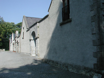 Markree CastleFarmyard complex · 203 yd
Explorer Tom Markree Castle in Clooneenroe is actually just a fancy farmyard pretending to be a castle, which is hilarious…
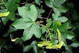 Field Maple364 yd
Explorer Tom Field Maple in County Sligo is cursed so that if you don't wave when passing, your left shoe falls off. It’s not magic…
CastleCastle, motte and bailey · 741 ydExplorer Tom Someone wrote a bad poem about this Ballygrania motte and bailey. The rhyme scheme was terrible and the meter was…
 European ash754 yd
Explorer Tom European ash in County Sligo was nearly sold as a horse because a farmer mistook its shape for a mane. It’s still…
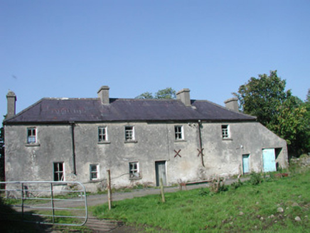 Tullymore HouseHouse · 1219 yd
Explorer Tom Tullymore House in Tully More is currently involved in a fierce dispute with the fairies over who gets to park their…
 Owenmore Gaels GAA pitchGAA ground · 1.1 mi
 Battlefield in Carricknagat (leyny By.),rinn (leyny By.),bleachgreen,collooney,ardcottenBattlefield · 1.6 mi
Explorer Tom Battlefield in Carricknagat survived a massive storm by just staying put, which is impressive for a spot with such a…
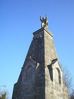 Battle of CollooneyBattle · 1.6 mi
Explorer Tom The Battle of Collooney in County Sligo took about four cups of tea to build up the energy needed for the fighting, and…
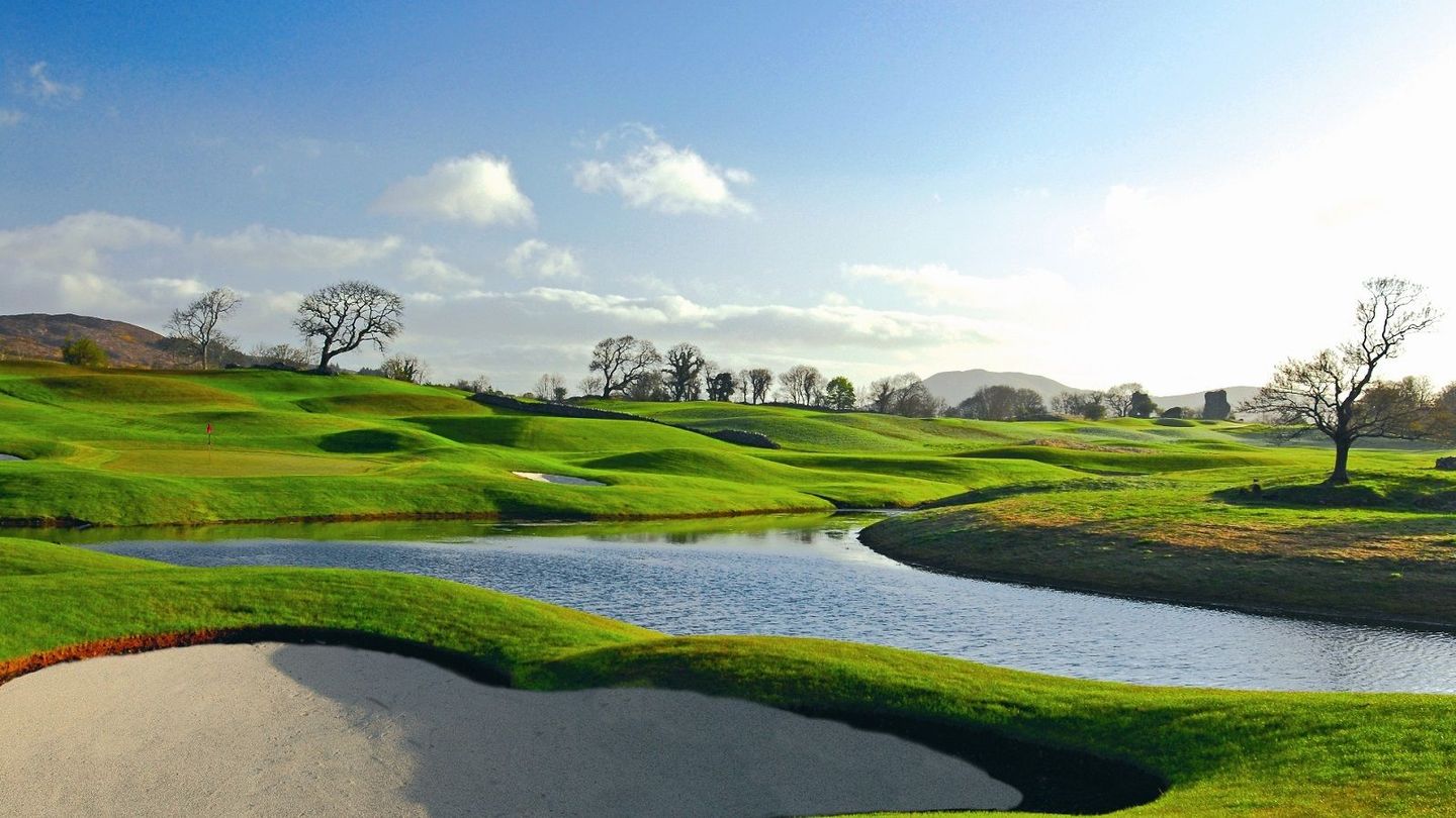 Castle Dargan Golf ClubGolf course · 1.8 mi
 CrannogeCrannog · 1.9 mi
Explorer Tom Crannoge in Ballydawley is basically invisible now, which is hilarious because it used to be a massive stone mound in…
Castle (Site of)Castle, unclassified · 1.9 miExplorer Tom Castle in Knockmullin ended up in the wrong place because someone misplaced the building plans. The MacDonaghs…
 Graveyard2.3 mi
Explorer Tom Graveyard in Kilross is hiding behind a church ruin, looking like it’s trying to blend into the background of history.…
More archaeology and monuments in County Sligo · All of County Sligo

What do you know about this place?Tap to add a comment or ask a question