What is recorded here
Indicated is a circular earthwork in County Mayo, Ireland, measuring thirty-three by thirty-five metres with a low half-metre bank. The interior remains tree-lined while rough pasture surrounds the southern slope. The site sits at a hill base beside a northern road, preserving the shape of an old fortified home.
In rough pasture, on S-facing slope at hill base. Circular raised area (33m N-S; 35m E-W), defined by low earthen bank (H 0.5m) SW to N. Interior tree-lined. Site skirted by road to N.
The above description has been derived from D. Lavelle (compiler), An Archaeological Survey of Ballinrobe and District including Lough Mask and Lough Carra. Lough Mask and Lough Carra Tourist Development Association (1994), No. 138.
Date of upload: 28 October 2013
The monument record does not grant public access. Check the route and ask the landowner before entering private land.
- What survives
- Recorded monument
Places near here
 Church in Rocksborough SouthChurch · 655 yd
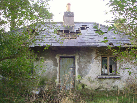 Cloonee Housegate lodge · 863 yd
 IndicatedFairy fort / earthen ringfort · 921 yd
 Crane IslandIslet · 1004 yd
 Stare IslandIslet · 1120 yd
 EnclosureEnclosure, large enclosure · 1.0 mi
 CastleCastle, unclassified · 1.7 mi
 Caislen-na-CirceCastle, tower house · 2.0 mi
 Kiltoom PointHeadland · 2.8 mi
 SycamoreSycamore · 2.9 mi
 Moore Hall ForestForest · 3.1 mi
 Moore Hall Forest TrailWalking route · 3.3 mi