What is recorded here
On the E bank of a NW-SE section of the River Suck, on ground sloping down to the SW with the stream c. 30m distant. Circular grass-covered area (diam. c. 80m N-S; 80m E-W) defined by an earthen bank and hedge (at N: Wth 6m; int. H 0.3m; ext. H 1.3m) which is reduced to a low scarp SE-S, and a flat-bottomed fosse (at N: Wth of top 8m; Wth of base 2m; D 1.1m) NW-E-SE. An outer bank (Wth 4.2m; ext. H 0.4m) NW-N is incorporated into a field bank N-E, but is absent elsewhere. There is no identifiable original entrance or causeway. The monument is truncated slightly by the bank of the River Suck SW-W, and the bank and fosse are damaged and backfilled at E (L c. 30).
Compiled by: Michael Moore
Date of upload: 24 August 2010
The monument record does not grant public access. Check the route and ask the landowner before entering private land.
- What survives
- Recorded monument
Places near here
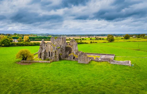 Quarry in Aghrane OR CastlekellyQuarry · 1330 yd
 Enclosure in Cloonruff (killian By.)Enclosure · 1420 yd
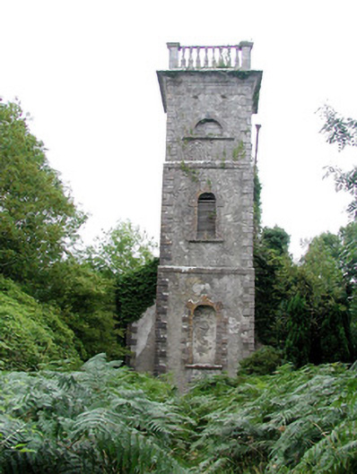 Mount Talbot Church (Tisrara)church/chapel · 1427 yd
 Church (Site of)Church · 1458 yd
 Castle KellyCastle, tower house · 1.6 mi
 Aughrane WoodsForest · 1.8 mi
 CastleHouse, fortified house · 2.0 mi
 Sally IslandIslet · 2.2 mi
 European Crab AppleEuropean Crab Apple · 2.5 mi
 Mount MaryMountain / peak · 4.4 mi
 Inchnaveague IslandIslet · 5.6 mi
 Site of Killomaine Grave YardArchaeological place · 9.8 mi