What is recorded here
Marked as an island (dims. c. 40m N-S; c. 25m E-W) on the 1837 ed. Of the OS 6-inch map, but it is now attached to the E shore of the N part of Clooncullaan Lough (dims. c. 640m E-W; c. 350m N-S) by an isthmus which is cut by a shallow fosse (L c. 10m; Wth 4m; D 0.3m). Oval grass-covered mound (dims. 53.4m N-S; 46.7m E-W; H 1.5m). The charred stumps of posts can be seen on the shore SW-W and at N while there is a shallow grass-covered quarry (Wth 2m; D 0.2m) and mound (L 12m) on the summit.
Compiled by: Michael Moore
Date of upload: 24 August 2010
The monument record does not grant public access. Check the route and ask the landowner before entering private land.
- What survives
- Recorded monument
Places near here
 IndicatedFairy fort / earthen ringfort · 526 yd
 Enclosure in Killeen EastEnclosure · 1703 yd
 Church in LaghtcauskChurch · 1.2 mi
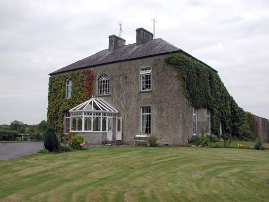 Smith Hill Housecountry house · 2.0 mi
 War of Independence Commemorative Military MemorialMemorial · 2.4 mi
 Caslans WoodForest · 3.2 mi
 Sweet ChestnutSweet Chestnut · 4.0 mi
 Strokestown House GardensHeritage attraction · 4.3 mi
 Strokestown ParkHeritage attraction · 4.4 mi
 CastleCastle, unclassified · 4.6 mi
 ToberagullaSpring · 5.4 mi
 CastlerubyCastle, unclassified · 7.1 mi