What is recorded here
Marked only on the 1928 ed. of the OS 6-inch map as an area of scrub, and situated on a gentle S-facing slope. Subrectangular grass and scrub-covered area (dims c. 40m NE-SW; c. 35m NW-SE) defined by straight sections of field walls at NE, SE and SW but it is unenclosed W-N. There are stones covering the surface of the interior which are known locally to mark graves. It is known locally as the 'fort'.
From the National Monuments Service (Archaeological Survey of Ireland) record RO025-003
The monument record does not grant public access. Check the route and ask the landowner before entering private land.
- What survives
- Recorded monument
Places near here
Photo credits
- National Inventory of Architectural Heritage
- Mike Searle, Geograph · CC BY-SA 2.0
- David Purchase, Geograph · Creative Commons Attribution-ShareAlike 2.0
- Paul Cowan, Wikimedia Commons · CC BY-SA 2.0
- Willow, Wikimedia Commons · CC BY 2.5
- Andreas F. Borchert, Wikimedia Commons · CC BY-SA 4.0
- Enda O Flaherty, Geograph · CC BY-SA 2.0
- The original uploader was Dppowell at English Wikipedia ., Wikimedia Commons · CC BY-SA 2.5
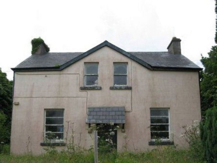 teacher's house1480 yd
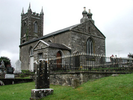 Kiltullagh Church (Kiltullagh)Church/chapel · 2.3 mi
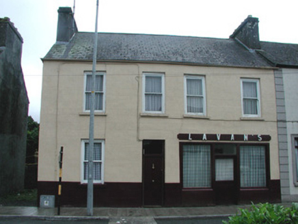 Lavan'sHouse · 2.3 mi
 IndicatedHouse, fortified house · 5.4 mi
 CastleCastle, unclassified · 5.4 miSlieve DartMountain / peak · 6.6 mi
 Grave YardGraveyard · 7.5 mi
 Knock ShrineHeritage attraction · 10.0 mi
 European ash18 mi
 Cloigtheach (Round Tower)Round tower · 18 mi
 KnockmaaWood · 23 mi
 Ross Errilly FriaryHeritage attraction · 27 mi
More archaeology and monuments in County Roscommon · All of County Roscommon
What do you know about this place?