What is recorded here
Located in deep water towards the SW end of Clooncorick Lough, a subrectangular lake (dims c. 550m NE-SW; c. 140-250m NW-SE), which is slightly smaller than its representation on the 1835 edition of the OS 6-inch map. This is an overgrown, circular, steep-sided, earth and stone island (diam. 17.5m; H 1.5m) surrounded by many interlocking timber beams, both upright and prone. The island has been disturbed in places by fishermen's piers, and it is connected to the shore by a modern wooden bridge. A log boat was observed in the water at this crannog when the water level was extremely low (Kane 1885-6, 408). A programme of radiocarbon dating undertaken by the Discovery Programme produced a date of 610 +- 20 BP (AD 1298-1400) from wood taken from the crannog (O’Conor and Fredengren 2019, 91).
The above description is derived from 'The Archaeological Inventory of County Leitrim' compiled by Michael J. Moore (Dublin: Stationery Office, 2003). In certain instances the entries have been revised and updated in the light of recent research.
Compiled by: Michael Moore
Date of revised revised upload: 30 December 2019
O’Conor, K. and Fredengren, C. 2019 Medieval settlement in Leitrim, c. 1169-c. 1380. in In Kelly, L. and Scott, B. Leitrim: History and Society, 79-101. Dublin, Geography Publications
The monument record does not grant public access. Check the route and ask the landowner before entering private land.
- What survives
- Recorded monument
Places near here
 King's GraveArchaeological place · 630 yd
 Mass-rock in Annagh (carrigallen By.)Mass-rock · 716 yd
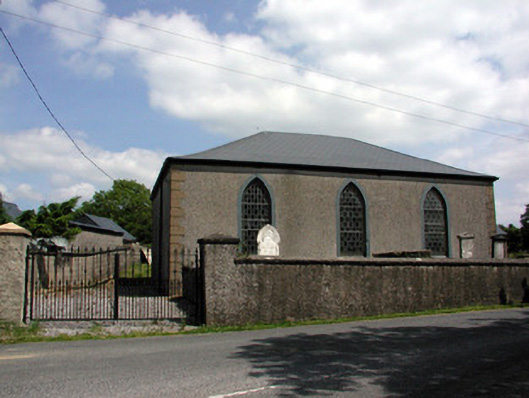 Carrigallen Presbyterian Churchchurch/chapel · 1201 yd
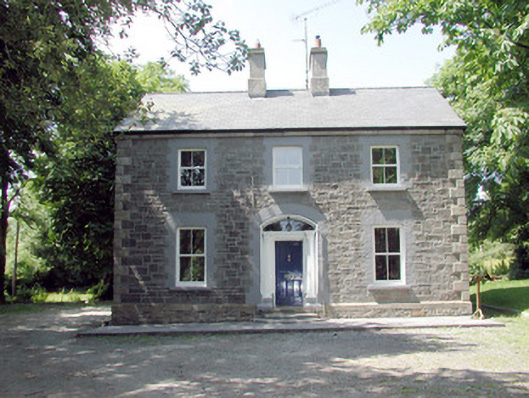 The Mansemanse · 1394 yd
 European YewEuropean Yew · 1.2 mi
 Pedunculate OakPedunculate Oak · 1.2 mi
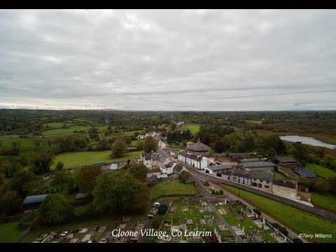 Enclosure in DrumhalryEnclosure · 1.3 mi
 DrumbreanlisMountain / peak · 1.5 mi
 DrummuckerMountain / peak · 2.5 mi
 Crane IslandIslet · 4.7 mi
 BatteryBawn · 4.7 mi
 Killeshandra Irish Countrywomen's Association 70th AnniversaryMemorial · 4.8 mi