What is recorded here
Attached to the N shore of Lough Rinn (dims c. 3.8km N-S; c. 200-400m E-W) and now joined to the mainland. The N arm of the lake extended c. 300m further N on the 1835 edition of the OS 6-inch map, and it is c. 100m from the W shore. This is an overgrown, oval, gravel and stone peninsula (dims 50m N-S; 33.5m E-W; H 1m) with a circular stony centre (diam. 10m; H 0.5m). The peninsula is surrounded by timber stakes and planks beneath the water, and a small stone pier is visible underwater at S. The structure of the crannog was investigated sometime before 1885 when two or three lines of small piles were uncovered around the core which consisted of cut logs at the base beneath stones and gravel. Quernstones found in the upper levels were moved to Mohill Castle (LE032-067----) (Kane 1885-6, 408) but their present location is not known.
The above description is derived from 'The Archaeological Inventory of County Leitrim' compiled by Michael J. Moore (Dublin: Stationery Office, 2003). In certain instances the entries have been revised and updated in the light of recent research.
Compiled by: Michael Moore
Date of upload: 23 September 2008
Amended: 6 January 2020
The monument record does not grant public access. Check the route and ask the landowner before entering private land.
- What survives
- Recorded monument
Places near here
 Holy WellHoly well · 159 yd
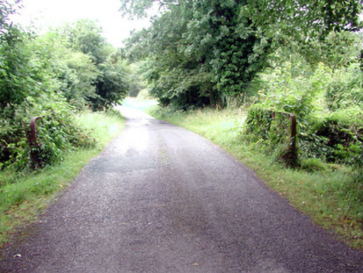 Lough Rynn Housebridge · 418 yd
 Lawson's CypressLawson's Cypress · 844 yd
 TuliptreeTuliptree · 847 yd
 Little IslandIslet · 936 yd
 Duck IslandIslet · 1005 yd
 CastleCastle, tower house · 1207 yd
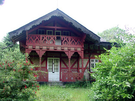 Swiss Cottagecottage ornee · 1275 yd
 Druid's AltarArchaeological place · 1405 yd
 Giant's GraveArchaeological place · 1742 yd
 Turlough O'Carolan MonumentHeritage attraction · 1.6 mi
 OratoryCastle, tower house · 2.3 mi