What is recorded here
Indicated is a fairy fort or earthen ringfort in Cloonavery, County Roscommon, Ireland. A broken earthen bank survives inside a coniferous forest on a gentle slope above the River Shannon. The 1914 Ordnance Survey map drew the whole circle, but the ground no longer shows the missing parts.
Marked only on the 1914 ed. of the OS 6-inch map as an arc of hachures (C c. 50m) N-E-S. On a gentle SW-facing slope with a SE-NW section of the River Shannon, c. 150m to the SW. An earthen bank (Wth 5-6m; int. 0.3-0.7m; ext. H 1.2m) survives NE-SE in a coniferous forest (C c. 30m). There is no visible evidence of a fosse or of the continuation of the perimeter.
Compiled by: Michael Moore
Date of upload: 24 August 2010
The monument record does not grant public access. Check the route and ask the landowner before entering private land.
- What survives
- Recorded monument
Places near here
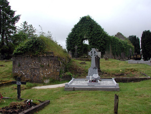 graveyard/cemeterygraveyard/cemetery · 273 yd
 Church (in Ruins)Church · 303 yd
 IndicatedTown defences · 487 yd
 Enclosure in JamestownEnclosure · 954 yd
 Patrick Gill Memorial Plaque (IRA)Monument · 1225 yd
 Robert Strawbridge MemorialMemorial · 1300 yd
 Wildlife AreaNature reserve · 1658 yd
 CastlecarraCastle, unclassified · 2.3 mi
 Site of Dangan CastleCastle, unclassified · 2.5 mi
 Moon RiverHeritage attraction · 2.9 mi
 InishmoylinIslet · 4.4 mi
 Mullinashee WoodForest · 4.6 mi