What is recorded here
Indicated is a fairy fort or earthen ringfort in Cloonascoffagh, County Sligo, Ireland. Great modification reduced the structure to western enclosing elements within a square field plot. Earthen banks and an external fosse curve along the surviving boundary beside sod-covered stone foundations of a rectangular vernacular house.
In pasture, located on the level top of a ridge with a gentle fall of ground to E. This rath has been greatly modified. Only the enclosing elements on the W half of the rath (diam. c. 20-25m) survive, incorporated into the W side of a roughly square field plot (c. 25m N–E; c. 25m E-W). The extant remains consist of an earthen bank (Wth 4.4m; int. H 0.7m; ext. H 1.4m) with an external fosse (3-3.5m) and external bank (Wth 3.5m; int. H 1.1m; ext. H 0.7m) which curve SW–NW in a shallow arc. The interior of the rath appears to have been subsumed into the field plot, and the banks and fosse at NNW–SSSW have been levelled and replaced by the linear field banks which define the N, E, and S sides of the square field. Abutting the E side of the field, at its N end, are the sod-covered stone foundations (10m N–S; 4m E–W) of a rectangular vernacular house (SL012-115002-). A slightly sunken, grass-covered track way extend from the house downslope to ENE.
Compiled by: Jane O’Shaughnessy
Date of upload: 14 May 2013
The monument record does not grant public access. Check the route and ask the landowner before entering private land.
- What survives
- Recorded monument
Places near here
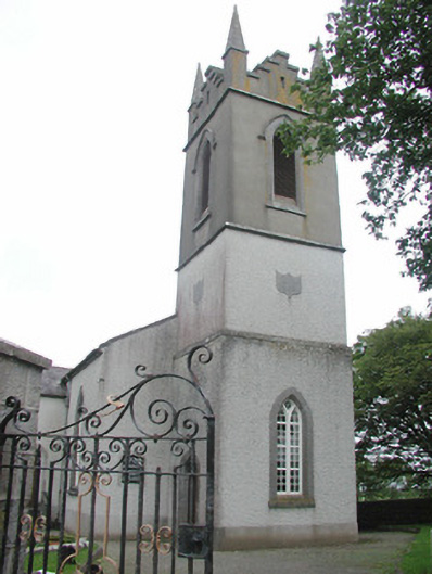 Saint Mary's Church (Kilmacshalgan)church/chapel · 199 yd
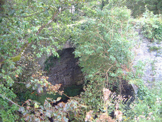 Ballygilcash Bridgebridge · 475 yd
 Site of Dunneill CastleCastle, unclassified · 784 yd
 IndicatedFairy fort / earthen ringfort · 851 yd
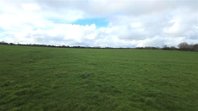 Man-made underground passage in BallyeeskeenMan-made underground passage · 1.1 mi
 DonaghHeadland · 1.2 mi
 CastleCastle, tower house · 2.0 mi
 Split RockNamed rock · 3.1 mi
 Jim Smith MemorialMemorial · 4.4 mi
 Aughris BeachBeach / strand · 4.6 mi
 Wild Atlantic Way: Easky PierVisitor information · 4.8 mi
 Eamonn's TopMountain / peak · 5.4 mi