What is recorded here
In pasture, abutting the NE side of rath (SL012-115001-) which has been incorporated into a square field. Sod-covered stone foundations of a rectangular vernacular house (10m N–S; 4m E–W). The house appears to have been sub-divided into three rooms. A slightly sunken, grass-covered track way extend from the house downslope to ENE.
Compiled by: Jane O’Shaughnessy
Date of upload: 14 May 2013
The monument record does not grant public access. Check the route and ask the landowner before entering private land.
- What survives
- Recorded monument
Places near here
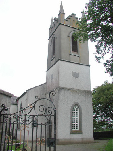 Saint Mary's Church (Kilmacshalgan)church/chapel · 211 yd
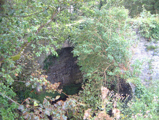 Ballygilcash Bridgebridge · 469 yd
 Site of Dunneill CastleCastle, unclassified · 801 yd
 IndicatedFairy fort / earthen ringfort · 833 yd
 Man-made underground passage in BallyeeskeenMan-made underground passage · 1.1 mi
 DonaghHeadland · 1.2 mi
 CastleCastle, tower house · 2.0 mi
 Split RockNamed rock · 3.1 mi
 Jim Smith MemorialMemorial · 4.4 mi
 Aughris BeachBeach / strand · 4.6 mi
 Wild Atlantic Way: Easky PierVisitor information · 4.8 mi
 Eamonn's TopMountain / peak · 5.4 mi