
Places near here
Photo credits
- National Inventory of Architectural Heritage
- Mike Searle, Wikimedia Commons · CC BY-SA 2.0
- Ray Martin, Wikimedia Commons · Public domain
- Milesoneill, Wikimedia Commons · Public domain
- Mike-kinsella, Wikimedia Commons · CC BY-SA 4.0
- Richard Webb, Geograph · CC BY-SA 2.0
- Andreas F. Borchert, Wikimedia Commons · CC BY-SA 4.0
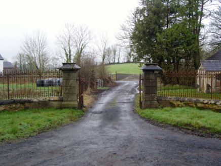 Rappa CastleGates/railings/walls · 487 yd
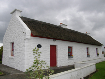 Kelly's CottageHouse · 741 yd
Explorer Tom Kelly's Cottage in Bunaneraghtish claims it's actually from the Roman Empire if you squint just right. The roof uses Turkish reeds now, which makes it smell faintly like a holiday you didn't take. Have a sandwich here while the wind tries to steal your hat.
IndicatedFairy fort / earthen ringfort · 773 yd Deel CastleCastle · 1.4 mi
 CastleCastle, tower house · 1.6 mi
 Battle of BallinaBattle · 3.1 mi
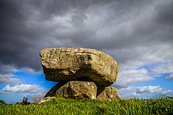 Dolmen of the four MaolsArchaeological place · 3.4 miHumbert MonumentMemorial · 3.6 mi
 Belleek WoodsWood · 3.8 miFloretteWreck · 4.1 miRinphilip PointHeadland · 4.3 mi
 Moyne AbbeyHeritage attraction · 5.6 mi
More archaeology and monuments in County Mayo · All of County Mayo

What do you know about this place?Tap to add a comment or ask a question