What is recorded here
This monument was depicted as a circular enclosure on the first edition of the OS 6-inch map but not marked on the subsequent editions. Monument site was inspected in 1982 and described as follows: 'The enclosure is completely demolished. The site is on the top of a gently rising prominent rise of good pasture. The rise is surrounded by gently undulating land. There are good views from the site’ (SMR File).
From the National Monuments Service (Archaeological Survey of Ireland) record WM032-086
Places near here
Photo credits
- National Inventory of Architectural Heritage
- MookiePlays, Wikimedia Commons · CC BY-SA 4.0
- kevin higgins, Wikimedia Commons · CC BY-SA 2.0
- Dalenevada, Wikimedia Commons · CC BY-SA 4.0
- Mike Searle, Geograph · CC BY-SA 2.0
- Willow, Wikimedia Commons · CC BY 2.5
- JP, Geograph · CC BY-SA 2.0
- Maker named on the Wikimedia Commons picture page · CC BY-SA 2.5
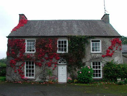 Knock HouseHouse · 1552 yd
 Newells BridgeBridge · 1679 yd
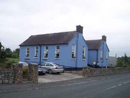 Saint Patrick's National SchoolSchool · 1.3 mi
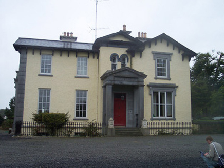 Ballynagore HouseHouse · 1.3 mi
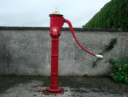 water pump1.3 mi
 CastleCastle, unclassified · 4.7 mi
 St. Columbkilles CrossCross, High cross · 7.2 mi
 CrossCross, High cross · 7.3 mi
 Durrow MoatCastle, motte · 7.3 mi
 European ash8.6 mi
 Grand Canal WayWalking route · 9.7 mi
 Sessile Oak13 mi
More archaeology and monuments in County Westmeath · All of County Westmeath

What do you know about this place?Tap to add a comment or ask a question