What is recorded here
Not visible at ground level. Depicted as a circular enclosure on the 1838 and 1912 editions of the OS 6-inch map. This levelled ringfort originally consisted of a circular area (approx. int. diam. 27m E-W) enclosed by an earthen bank. The ringfort measured in overall diameter of approx. 52m E-W.
From the National Monuments Service (Archaeological Survey of Ireland) record OF026-035
The monument record does not grant public access. Check the route and ask the landowner before entering private land.
- What survives
- Recorded monument
Places near here
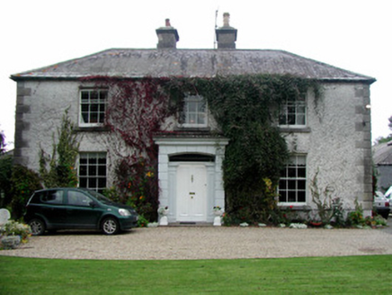 Ashmount HouseHouse · 334 ydEnclosure in ClonygowanEnclosure · 574 yd
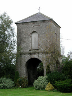 Clonygowan HouseDovecote/pigeon house/aviary · 615 ydEcclesiastical enclosure in SranureEcclesiastical enclosure · 775 ydGhaugher HillMountain / peak · 1.1 miMoat of DownCastle, motte and bailey · 1.4 miThe Lord's WellSpring · 2.4 miSpa WellSpring · 2.5 mi
 Father BurbageMemorial · 3.4 mi
 Pedunculate Oak3.7 mi
_(geograph_6506412).jpg/250px-Castles_of_Leinster-_Tinnakill,_Laois_(2)_(geograph_6506412).jpg "Photo: Garry Dickinson, Wikimedia Commons · CC BY-SA 2.0") Tinnakill Castle (in Ruins)Castle, tower house · 4.6 mi
Tinnakill Castle (in Ruins)Castle, tower house · 4.6 mi Wych Elm7.0 mi
Pictures: National Inventory of Architectural Heritage; Trenchspike, Wikimedia Commons · CC BY-SA 4.0; Algirdas at Lithuanian Wikipedia, Wikimedia Commons · Public domain; Garry Dickinson, Wikimedia Commons · CC BY-SA 2.0; Ronnie Nijboer, Wikimedia Commons · CC0
More archaeology and monuments in County Offaly · All of County Offaly
What do you know about this place?