What is recorded here
On level, pasture. A trackway (Wth 2-3m) is defined by parallel, grassed-over earthen banks (Wth at base 3-4.5m; H 0.6-1.2m) and is traceable for c. 45m running ENE-WSW, and apparently leads to a now derelict lodge at the fork of the nearby main road. Appears to be of 18th/19th century in date.
Compiled by: Gearóid Conroy
Date of upload: 10 June 2011
The monument record does not grant public access. Check the route and ask the landowner before entering private land.
- What survives
- Recorded monument
Places near here
 Leinster Bridgebridge · 189 yd
 Croppies' GraveMemorial · 282 yd
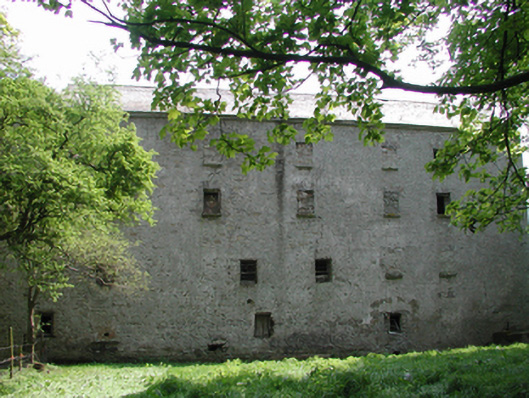 Ballyonan Millmill (water) · 546 yd
 Enclosure in KilrathmurryEnclosure · 885 yd
 Field system in Anneville or Clonard OldField system · 1558 yd
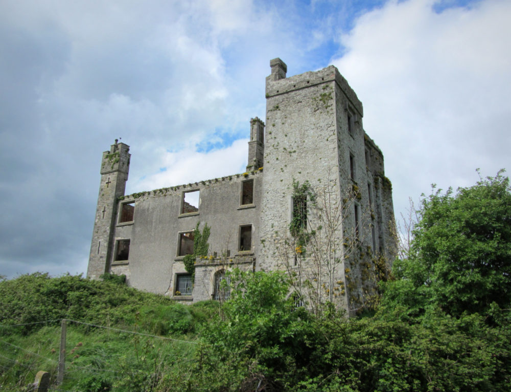 CastleCastle, ringwork · 1.0 mi
 Abandoned Kinnegad CanalWood · 1.9 mi
 Queen Marys CastleCastle, tower house · 2.0 mi
 Rahin WoodsForest · 3.3 mi
 The Grill ShackHeritage attraction · 10 mi
 John McLaughlinMemorial · 20 mi
 Arthur GuinessMemorial · 20 mi