What is recorded here
Towards the top of the NE-facing slope of a SE-NW spur. Circular grass-covered area (diam. 40.8m N-S; 40.3m E-W) defined by an earthen bank (Wth 2.2-4.5m; int. H 0.5-0.8m; ext. H 0.7-0.9m) and hedge overlain by a N-S field bank at the W edge. There is no visible fosse or identifiable original entrance, but there is an overgrown quarry on the perimeter NW-N and lazy-beds in the interior. Raths (RO044-042----; RO044-040----) are c. 110m to the SE and 90m to the SW respectively.
Compiled by: Michael Moore
Date of upload: 24 August 2010
The monument record does not grant public access. Check the route and ask the landowner before entering private land.
- What survives
- Recorded monument
Places near here
 IndicatedFairy fort / earthen ringfort · 804 yd
 Cross in CarrowntempleCross · 1672 yd
 Loobinroe Windmillmill (wind) · 1.0 mi
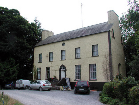 Bushypark Housecountry house · 1.9 mi
 European Crab AppleEuropean Crab Apple · 2.3 mi
 CastleCastle, unclassified · 2.3 mi
 Inchnaveague IslandIslet · 2.7 mi
 InchnagowerIslet · 3.3 mi
 Castle (Site of)Castle, unclassified · 3.5 mi
 TogherfinnForest · 4.2 mi
 Hangman's HillMountain / peak · 5.7 mi
 Mount MaryMountain / peak · 7.8 mi