What is recorded here
Indicated on the 1837 OS 6-inch map as a circular enclosure, and on the 1913 edition, as a subcircular enclosure (diam. 45-50m) incorporated for most of its circuit into later field boundaries, with a Man-made underground passage (SL007-020002-), indicated as ‘Cave’, in the NW quadrant. Inspected in 1991, an arc of wall (Wth 0.8m; int. H c. 1.1m; ext. H 1.6m) consisting of irregular boulders could be traced defining the W side of the cashel, but dense overgrowth impeded access to the interior. A 19th-century account of the cashel suggests that there may be a second Man-made underground passage (SL007-020003-) in the interior (Milligan 1890-1, 576).
Compiled by: Jane O’Shaughnessy
Date of upload: 25 April 2017
The monument record does not grant public access. Check the route and ask the landowner before entering private land.
- What survives
- Recorded monument
Places near here
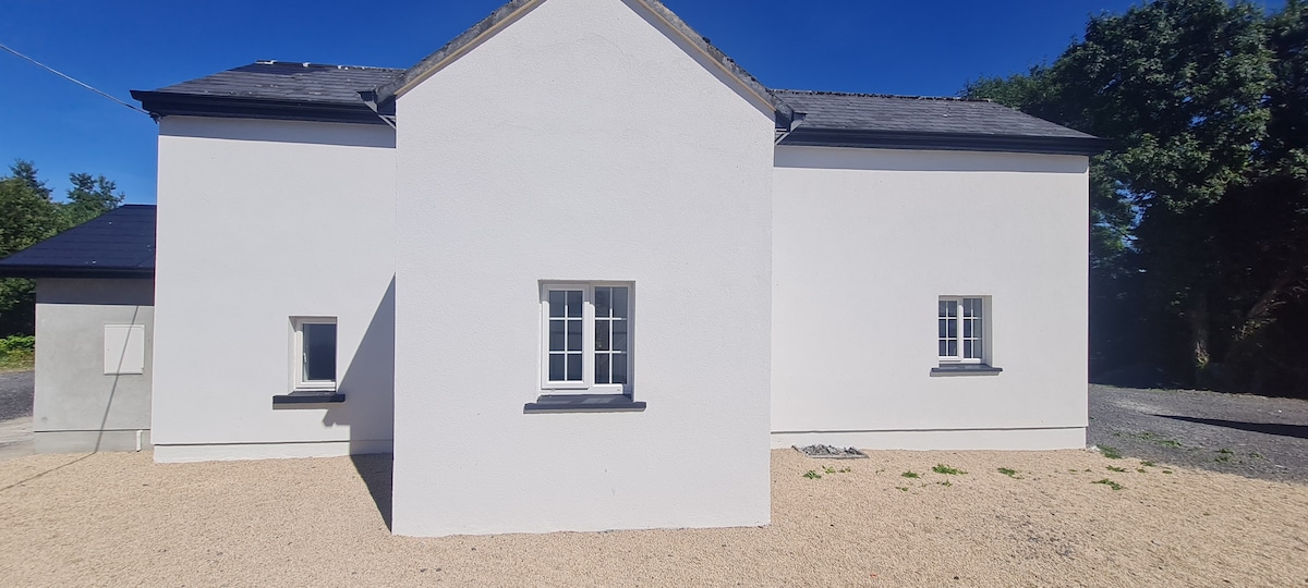 Enclosure in CloghcorEnclosure · 539 yd
 LissgallonFairy fort / stone ringfort · 653 yd
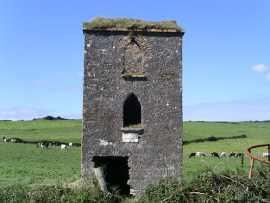 John's Portbuilding misc · 1125 yd
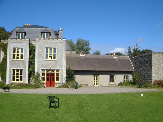 Ardtarmon Housecountry house · 1263 yd
 Bawn in DoonforeBawn · 1701 yd
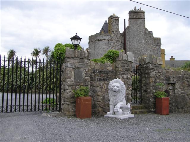 Bawn in ArdtermonBawn · 1.1 mi
 Ardtermon StrandBeach / strand · 1.3 mi
 Forester's WoodForest · 1.4 mi
 Church Hill WoodWood · 1.5 mi
 Yellow StrandBeach / strand · 1.9 mi
 Coastguard StationRuins · 2.2 mi
 Drumcliff BayBay · 2.2 mi