What is recorded here
On low poorly drained pasture in undulating countryside. A large circular area (diam. 85m NE-SW; 80m SE-NW) defined by a scarp (H 0.5m-1.7m) with slight traces of a bank (Wth 2.5m; ext. H 1.7m; int. H 0.3m) at the E only where a causewayed entrance (Wth 5.2m) is visible and an external fosse (Wth 3.5-5m; ext. D 0.5-1m) which is widened and deepened at the S where it acts as a field drain. The interior is very uneven, following the natural undulations of the hillock on which the monument is sited. The fosse and scarp are destroyed from NW to NNW where the fosse is filled in and the scarp has been removed.
Compiled by: Jean Farrelly
Date of upload: 26 August 2011
This remains an important historical record, but the official description says the monument is no longer visible or has been destroyed. The monument record does not grant public access. Check the route and ask the landowner before entering private land.
- What survives
- No visible remains or recorded as destroyed
Places near here
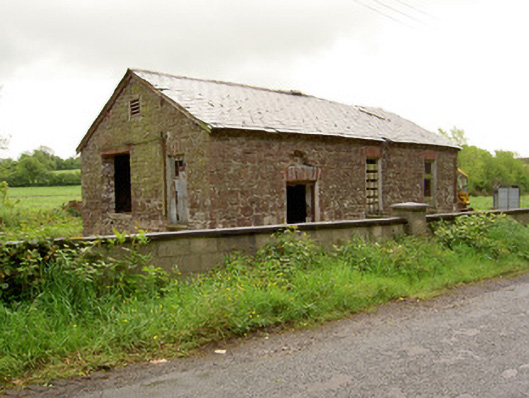 Ironmills Creamerycreamery · 223 yd
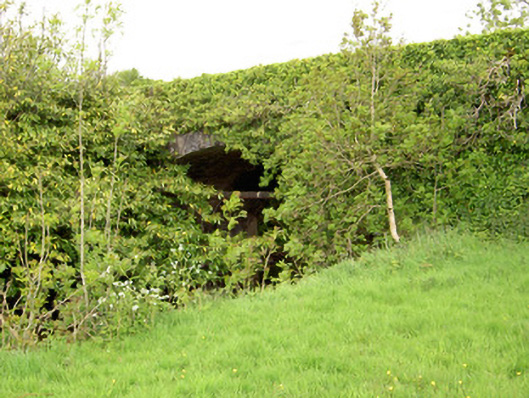 Ironmills Bridgebridge · 269 yd
 CastleCastle, unclassified · 860 yd
 IndicatedFairy fort / earthen ringfort · 951 yd
 Ballysheeda Castle (in Ruins)Castle, tower house · 1400 yd
 Green Field ParkWood · 1559 yd
 Enclosure in Ballysheeda (donohill Par.)Enclosure · 1.2 mi
 Gortard WoodForest · 2.3 mi
 Soloheadbeg Ambushambush · 3.9 mi
 Soloheadbeg Ambush SiteMemorial · 4.5 mi
 GortnageraghMountain / peak · 4.8 mi
 LackenacreenaMountain / peak · 5.0 mi