What is recorded here
All that remains of this site is a natural ridge in an area of undulating countryside. This natural ridge was once planted with trees which were bulldozed during recent land reclaimation. The local farmer described the site as a natural grove of trees with no evidence of a bank or any other man made feature. Therefore this site is of no archaeological interest. Depicted on the 1840 edition of the OS 6-inch map as a tree-plantation.
From the National Monuments Service (Archaeological Survey of Ireland) record OF008-007
Places near here
Photo credits
- National Inventory of Architectural Heritage
- Willow, Wikimedia Commons · CC BY 2.5
- Mike Searle, Geograph · CC BY-SA 2.0
- Dalenevada, Wikimedia Commons · CC BY-SA 4.0
- kevin higgins, Wikimedia Commons · CC BY-SA 2.0
- Kieran Campbell, Wikimedia Commons · CC BY-SA 2.0
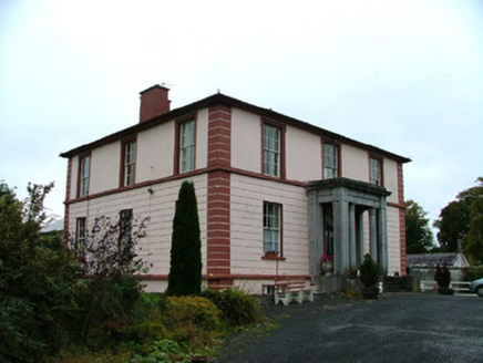 Clara HouseHouse · 626 yd
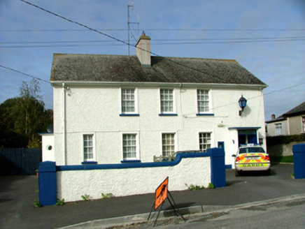 Clara Garda Síochána StationHouse · 796 yd
 Chapel HillForest · 1111 ydToberaskeenSpring · 1.5 miClara Bog BoardwalkWalking route · 1.5 miRoughan HillMountain / peak · 1.9 miKilmalady HillMountain / peak · 2.3 mi
 European ash4.2 mi
 Durrow MoatCastle, motte · 4.4 mi
 CrossCross, High cross · 4.6 mi
 St. Columbkilles CrossCross, High cross · 4.6 mi
 Ballycowan CastleCastle · 5.6 mi
More archaeology and monuments in County Offaly · All of County Offaly
What do you know about this place?Tap to add a comment or ask a question