What is recorded here
The Archaeological Survey of Ireland (ASI) is in the process of providing information on all monuments on The Historic Environment Viewer (HEV). Currently the information for this record has not been uploaded. To access available information for research purposes please make an appointment in advance with the Archive Unit (open Fridays 10.00 am – 5.00 pm), Department of Housing, Local Government and Heritage, The Custom House, Dublin 1 D01W6XO or email NMarchive@housing.gov.ie.
The monument record does not grant public access. Check the route and ask the landowner before entering private land.
- What survives
- Recorded monument
Places near here
 Holy Well (now dry)Holy well · 24 yd
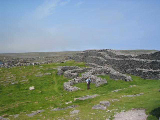 DoocaherPromontory fort, coastal · 1254 yd
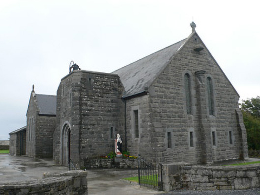 Seipéal Bríd agus Oilibhéir Pluincéid Naomhthachurch/chapel · 1502 yd
 Scoil Náisiúnta Cill Éinneschool · 1567 yd
 Dún EochlaHeritage attraction · 1700 yd
 Leaba Naomh RónáinHeritage attraction · 1.1 mi
 Arkin's CastleCastle · 1.3 mi
 An CharcairMountain / peak · 1.4 mi
 Trá na mBuailte (Beach of the Booly)Beach / strand · 1.4 mi
 ÁrainnIsland · 1.7 mi
 Seal Colony LookoutViewpoint · 1.9 mi
 Oileán na TuíIslet · 2.5 mi