
What is recorded here
A mill is marked on a Bateman map of 1716, on the W bank of the N-S stream in Moorhill Glen, and a building is marked on the 1840 ed. of the map but it is no longer extant.
Compiled by: Michael Moore
Date of upload: 27 September 2011
The monument record does not grant public access. Check the route and ask the landowner before entering private land.
- What survives
- Recorded monument
Places near here
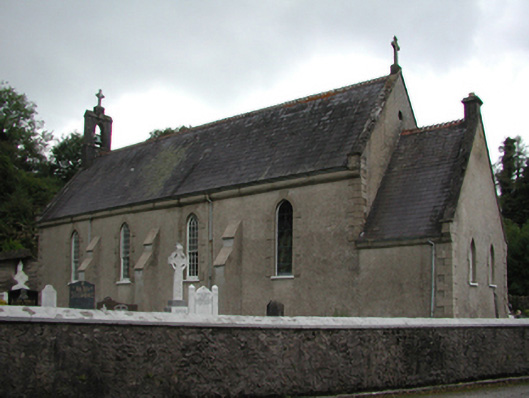 Catholic Church of the Holy Crosschurch/chapel · 122 yd
 Penitential station in Carrigroe (coshmore and Coshbride By.)Penitential station · 345 yd
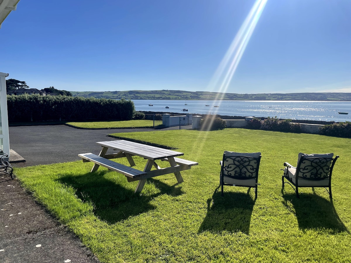 Embanked enclosureEnclosure · 1353 yd
 Burial GroundGraveyard · 1.7 mi
 Kilnacarriga Castle (in ruins)Castle, unclassified · 2.4 mi
 Bishopstown WoodForest · 2.9 mi
 Tallow HillMountain / peak · 3.3 mi
 Lisfinny CastleCastle · 3.6 mi
 LismoreMemorial · 4.4 mi
 European YewEuropean Yew · 4.8 mi
 Lismore Castlefarm house · 4.8 mi
 Graveyard in Curraheen (kinnatalloon By.)Graveyard · 6.0 mi
Other information
Photo: Credit not shown in the picture search · Rights wording not checked; contact us if this picture should be removed