What is recorded here
On an E-facing slope in former demesne land. Marked on OS 6-inch maps as a roughly subcircular tree-planted enclosure (c. 55m by c. 45m) delimited by a solid line. Described in 1980 as 'a roughly circular monument, very poorly preserved, outlined by remains of a very low broken down wall. … [It] measures approx. 38m N.W.-S.E. … On East, N.E. & S.E. the wall is set on a low scarp while there is a shallow fosse outside on North, West & S.W.' (Topgr. Files, OPW). No visible surface trace survives. II - North Galway'.
From the National Monuments Service (Archaeological Survey of Ireland) record GA083-029
Places near here
Photo credits
- National Inventory of Architectural Heritage
- dougf, Geograph · CC BY-SA 2.0
- Ingo Mehling, Wikimedia Commons · CC BY-SA 3.0
- Stephan van Helden, Wikimedia Commons · CC BY-SA 4.0
- Rryswny, Wikimedia Commons · CC BY-SA 4.0
- Mike Searle, Geograph · CC BY-SA 2.0
- Andreas F. Borchert, Wikimedia Commons · CC BY-SA 4.0
- Graham Horn, Geograph · CC BY-SA 2.0
- Malene Thyssen, Wikimedia Commons · CC BY-SA 3.0
- DeeEmm, Wikimedia Commons · CC BY-SA 2.0
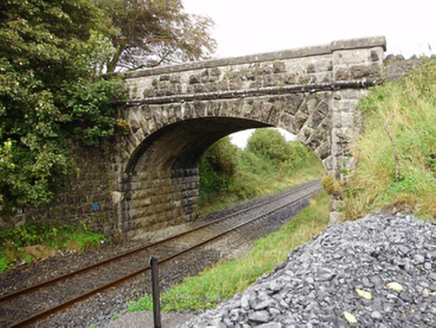 Derrydonnell BridgeBridge · 1.9 mi
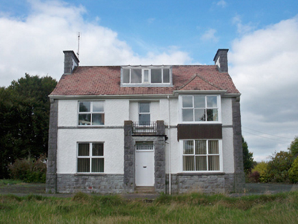 Mellows CampusBuilding misc · 2.0 mi
 Derrydonnell Castle (in ruins)Castle, tower house · 2.3 mi
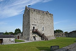 First Battle of AthenryBattle · 2.8 mi
 Horse-chestnut2.8 mi
 IndicatedTown defences · 2.9 mi
 Castle (in ruins)Castle, tower house · 2.9 mi
 Check mapCross, Market cross · 2.9 mi
 Athenry CastleHeritage attraction · 3.0 mi
 Athenry AbbeyHeritage attraction · 3.0 mi
 European Beech5.5 mi
 Knocktuagh alias Knockdoe ...Battlefield · 5.9 mi
More archaeology and monuments in County Galway · All of County Galway

What do you know about this place?Tap to add a comment or ask a question