What is recorded here
Located on a terrace at base of an E-facing slope, c. 50m to W of the estuary of the Cloonalaghan River, overlooking Lackan Strand and Lackan Bay to NW. There are excellent views also of Kilcummin Head, which flanks the opposite side of the bay. It is located adjacent to the N boundary of the townland. Approximately 5m E of the rath, ground falls away steeply to the shoreline.
Circular area (25.5m E–W; 25.5m N–S) defined by an earthen bank (Wth 5m; int. H 0.6m; ext. H 0.5m at W, 1.4m at E). On the W half of the circuit, the bank has a broad internal slump, levelling out to the flat interior. Elsewhere it is low and degraded internally. The external slope is more pronounced, especially at NE–E where it compensates for the steep natural fall of ground. The interior is level and grassy, with a concentration of thistles in the W half.
Compiled by: Jane O'Shaughnessy
Date of upload: 1 July 2019
The monument record does not grant public access. Check the route and ask the landowner before entering private land.
- What survives
- Recorded monument
Places near here
 CastleCastle, unclassified · 787 yd
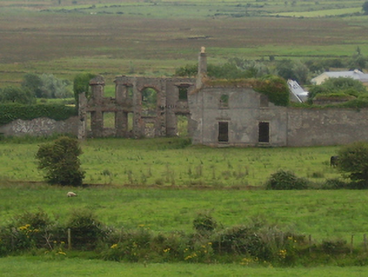 Castlelackancountry house · 797 yd
 Enclosure in Castletown (tirawley By., Lackan Par.)Enclosure · 874 yd
 Church (in Ruins)Church · 1328 yd
 TobernacreevaHoly well · 1461 yd
 French Landing 1798Memorial · 1.9 mi
 TrabaunBeach / strand · 2.1 mi
 CastlenageehaCastle, unclassified · 2.3 mi
 PollatarriveCliff · 3.6 mi
 Lisheen Grave YardArchaeological place · 4.0 mi
 Rinnaun PointHeadland · 4.1 mi
 Green IslandIslet · 4.5 mi