What is recorded here
In the SE corner of a pasture field, located on gently elevated ground. Not indicated on the OS 6-inch maps. This mound appears to consist of an oblong heap (c. 3-4m N−S; c. 2m E−W; H c. 0.5m) of earth and stones. Two upright boulders, set 1.2m apart are incorporated into the W side of the mound, one (L 0.75m; H 0.95m) at the N end, and the other (L 1.3m; H 1.3m) towards the S end of the mound. The mound is engulfed in dense brambles, and a hawthorn tree grows out of the N end. In January 2017 a heap (4-5m N−S; 4m E−W; H 1.3m) of soil, stones and general field clearance debris was pushed against the S end of the mound, with lesser quantities pushed against the W side. The mound is therefore difficult to examine, and its function and date remains uncertain.
Compiled by: Jane O’Shaughnessy
Date of upload: 21 June 2017
The monument record does not grant public access. Check the route and ask the landowner before entering private land.
- What survives
- Recorded monument
Places near here
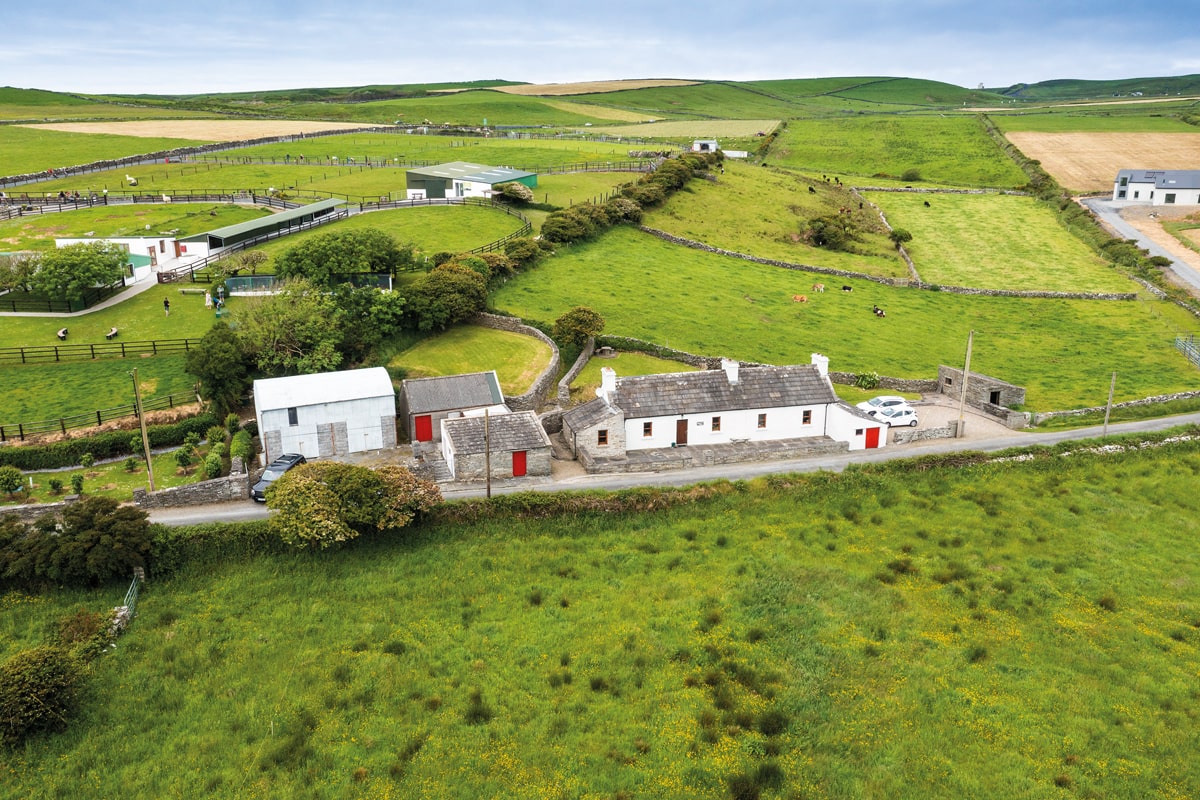 Enclosure in Lissadrone EastEnclosure · 443 yd
 Church (in Ruins)Church · 524 yd
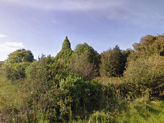 Lackan Church (Lackan)church/chapel · 615 yd
 CastleCastle, unclassified · 665 yd
 LissadroneFairy fort / earthen ringfort · 999 yd
 Bawn in CarrickanassBawn · 2.1 mi
 TrabaunBeach / strand · 2.4 mi
 French Landing 1798Memorial · 2.6 mi
 Lisheen Grave YardArchaeological place · 3.2 mi
 PollatarriveCliff · 3.7 mi
 Rinnaun PointHeadland · 4.1 mi
 Green IslandIslet · 4.4 mi