What is recorded here
In pasture, situated on an E-facing slope. Named 'Lissadrone' on the 1838 and 1922 OS 6-inch maps. Raised circular area (diam. 25.2m) defined by a substantial bank (Wth 3.6m; int. H 0.6m; ext. H 1m), and enclosed by a wide, shallow fosse (Wth 4.8m) with a low counterscarp bank (Wth 3.1m; int. H 0.7m; ext. H 0.2m). The fosse and external bank are largely levelled from NNE–SSE. A partly blocked up break (Wth 2.6m) in the bank at SE may represent the original entrance. The wall footings of a rectangular house (MA014-012001-) project into the interior from the internal face of the bank at E.
Compiled by: Jane O'Shaughnessy
Date of upload: 6 February 2015
The monument record does not grant public access. Check the route and ask the landowner before entering private land.
- What survives
- Recorded monument
Places near here
 Church (in Ruins)Church · 932 yd
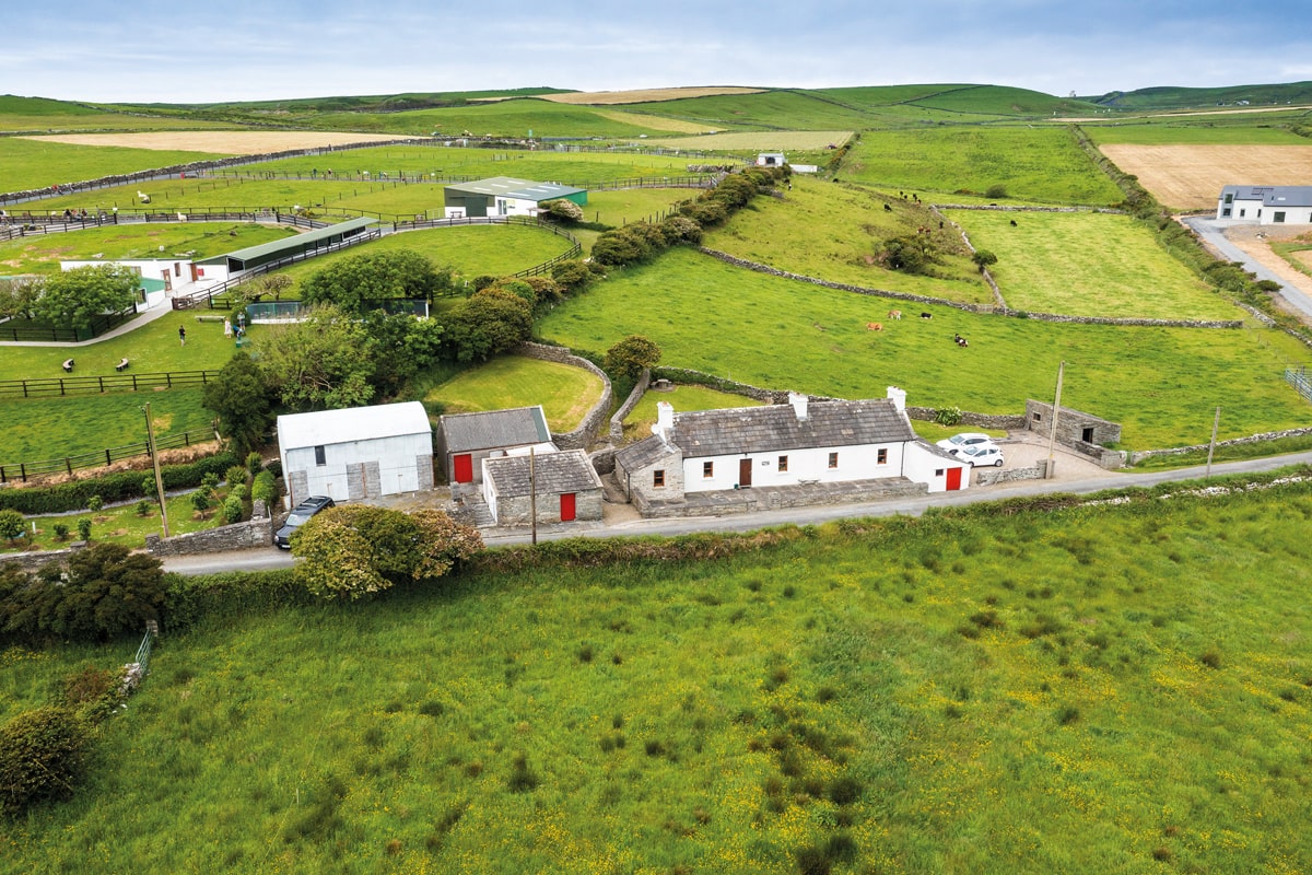 Enclosure in Lissadrone EastEnclosure · 1040 yd
 Enclosure in Barnhill UpperEnclosure · 1340 yd
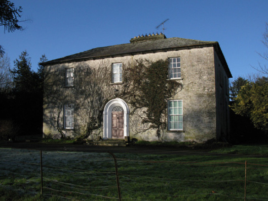 Carrowmore Housefarm house · 1472 yd
 CastleCastle, unclassified · 1555 yd
 Bawn in CarrickanassBawn · 2.0 mi
 Lisheen Grave YardArchaeological place · 2.7 mi
 TrabaunBeach / strand · 3.0 mi
 French Landing 1798Memorial · 3.1 mi
 PollatarriveCliff · 3.4 mi
 Ballycastle BeachBeach / strand · 4.2 mi
 Rinnaun PointHeadland · 4.5 mi
Other information
Photo: Credit not shown in the picture search · Rights wording not checked; contact us if this picture should be removed