What is recorded here
Enclosures identified on aerial photograph taken on 11/8/1996 by Michael Moore (ASIAP 44(15-22)). Situated on flat poorly drained reclaimed grassland with good views in all directions. Located on demesne property of Castle Fogarty which is located 250m to the E. Possible pond feature and drainage channels show up on aerial photographs, these features are probably landscaping features undertaken by the owners of Castle Fogarty. Doubtful antiquity, probable landscape feature. Indicated on first ed. OS 6-inch map as a landscape feature in the form of a grove of trees.
Compiled by: Jean Farrelly and Caimin O'Brien
Date of upload/revision: 22 September 2008
The monument record does not grant public access. Check the route and ask the landowner before entering private land.
- What survives
- Recorded monument
Places near here
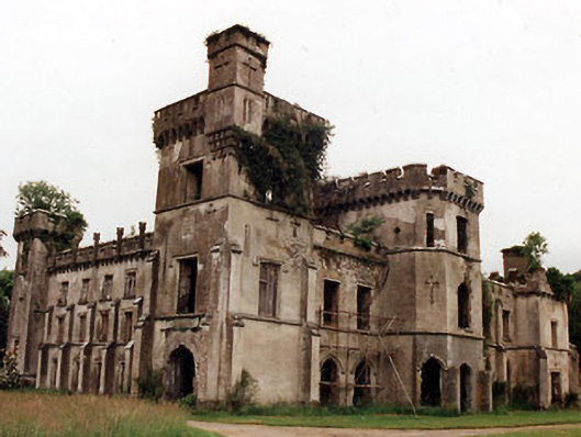 Castle Fogartycountry house · 275 yd
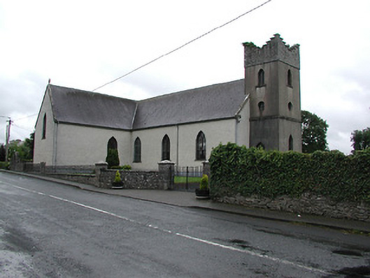 Saint Cataldus's Catholic Churchchurch/chapel · 999 yd
 BallycahillSettlement deserted, medieval · 1268 yd
 CastleCastle, ringwork · 1.1 mi
 Enclosure in RoskeenEnclosure · 1.1 mi
 Pallas HillMountain / peak · 1.6 mi
 KnockaneMountain / peak · 1.6 mi
 Black Castle (in ruins)Castle, unclassified · 1.8 mi
 Cormackstown Heritage CentreMuseum · 2.7 mi
 European ashEuropean ash · 4.4 mi
 Lár na PáirceMuseum · 4.6 mi
 Kilvilcorris BogForest · 4.9 mi