
What is recorded here
Castlebridge is a castle only in name, but the name itself is a claim: somebody lived there, built there, and was forgotten. The present Church of Ireland church rose in 1764 on that same southern bank, perhaps swallowing the last of the castle into its foundations. The graveyard still stands raised above the river mist, holding what the village stopped naming.
Situated on the S bank of a meandering NE-SW tidal river c. 60m from the stream. Lewis (1837, vol. 1, 45) records that the present Church of Ireland church was built in 1764 on the site of a castle that was on ground provided by the bishop. The name ‘Castlebridge’ would suggest that there was a castle here, but this and the Lewis statement are the only indications of it. The 1839 and 1925 eds of the OS 6-inch map record the site of a church (WX032-031001-) at the same location. There is no visible trace of an older church or castle at ground level within a raised rectangular graveyard (WX032-031002-), and the present church was probably built in the developing village of Castlebridge at a location that may have had a castle.
Compiled by: Michael Moore
Date of upload: 31 August, 2012
This remains an important historical record, but the official description says the monument is no longer visible or has been destroyed. The monument record does not grant public access. Check the route and ask the landowner before entering private land.
- What survives
- No visible remains or recorded as destroyed
Places near here
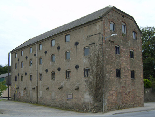 malt housemalt house · 27 yd
 Ardcolm Churchchurch/chapel · 27 yd
 Peace GardenMemorial · 66 yd
 Rectory Hall ForestWood · 258 yd
 Ballywish SouthForest · 888 yd
 Castle (in ruins)Castle, unclassified · 1249 yd
 Enclosure in Ballyboggan UpperEnclosure · 1733 yd
 EnclosureEnclosure, large enclosure · 1.0 mi
 Artramon CastleCastle, tower house · 1.3 mi
 Wexford Wildfowl ReserveHeritage attraction · 2.2 mi
 Three Sisters River CruisesHeritage attraction · 3.0 mi
 Commodore John Barry MemorialMemorial · 3.1 mi
Other information
Photo: Credit not shown in the picture search · Rights wording not checked; contact us if this picture should be removed