What is recorded here
On a steep NW-facing slope in pasture. Depicted as a circular enclosure with the designation 'Fort' on the 1837 ed. of the OS 6-inch map. This slightly raised circular area (diam. c. 40m) is enclosed from NNW-N-SE by a substantial bank of earth and stone, which has been modified and incorporated into a field boundary. At its external base is a stream, which marks the townland boundary between Cartronageeragh and Farranyoogan townlands. The rest of the rath has been levelled and only its outline is identifiable. The original entrance is not recognisable.
Compiled by: Patrick F. O'Donovan
Date of upload: 28 November 2011
The monument record does not grant public access. Check the route and ask the landowner before entering private land.
- What survives
- Recorded monument
Places near here
 Burnt spread in MullaghavorneenBurnt spread · 710 yd
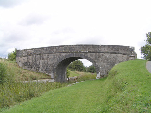 Farranyoogan Bridgebridge · 759 yd
 Church in AghafadChurch · 912 yd
 IndicatedFairy fort / earthen ringfort · 1028 yd
 First World War MemorialMemorial · 1.1 mi
 Saint Mel's CathedralCathedral · 1.2 mi
 Bawn in AbbeycartronBawn · 1.3 mi
 Graveyard in Curry (ardagh By., Coolamber Ed)Graveyard · 1.7 mi
 CastleCastle, Anglo-Norman masonry castle · 3.8 mi
 Commons North WalkVisitor information · 8.0 mi
 Wild birdsVisitor information · 8.1 mi
 White Sand WoodWood · 8.4 mi