What is recorded here
Located on a rush-grown terrace on the lower E-facing of a ridge, with extensive views over the surrounding lowlands to E−SE and hillier terrain to W. There is a small stream 160m to W and a flat expanse of wet boggy ground to E. There is a farmyard c. 50m to S.
Roughly circular, slightly raised area (22.7m E−W; 24.8m N−S) defined by remnants of a bank, largely reduced to a scarp (Wth c. 2m; ext. H 0.6m). The scarp retains a slight moss-covered internal lip. The E arc of the scarp is incorporated into a later N−S field fence which respects its curve. This N−S field fence forms the E side of a small rectangular field which now encloses the rath.
The rath interior has a dry, firm grassy surface, differentiating it from the surrounding terrace which is covered in rushes and clumps of brambles; it has a slight slope down from centre to E.
Two possible enclosures (MA080-002----; MA080-004----) are located 40m to NE and 155m to SW, respectively.
Compiled by: Jane O’Shaughnessy
Date of upload: 25 November 2021
The monument record does not grant public access. Check the route and ask the landowner before entering private land.
- What survives
- Recorded monument
Places near here
 IndicatedFairy fort / earthen ringfort · 1110 yd
 Kilkevna Church in ruinsChurch · 1.4 mi
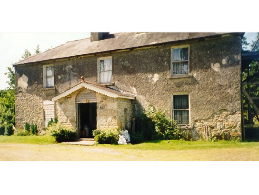 Killedan Housefarm house · 1.5 mi
 I'll Send You The FareMemorial · 1.9 mi
 Carrowbeg WoodWood · 1.9 mi
 CrossCross · 2.0 mi
 Kiltimagh MuseumMuseum · 2.1 mi
 CashlankeeghCastle, unclassified · 2.2 mi
 Thorn CaveCave · 3.5 mi
 Castle in RuinsCastle, unclassified · 4.4 mi
 Michael DavittMemorial · 5.5 mi
 Knock ShrineHeritage attraction · 7.0 mi