
What is recorded here
In pasture, located on rising ground with very good views. There is a small stream 180m to W and a flat expanse of wet boggy ground to E. Indicated as a tree-planted circular enclosure on the 1838 OS 6-inch map; and as a penannular area defined by a field boundary, open to W, on the 1919 edition. The remains consist…
Read the whole record
From the National Monuments Service (Archaeological Survey of Ireland) record MA080-002
Places near here
Photo credits
- Maker not stated on source page, commons.wikimedia.org
- Kiltimagh GAA Club; individual photographer not named, kiltimaghgaaclub.com
- Maker not stated on source page, www.dreamstime.com
- National Inventory of Architectural Heritage
- Maker not stated on source page, www.pinterest.com
 Slieve Cairn FoothillsWalking route · 1422 yd
Explorer Tom Slieve Cairn Foothills was once offered to a cow who wanted to buy it with a shiny button, but the deal fell through…
 Gilmartin Park, Kiltimagh GAAGAA ground · 1.5 mi
 Megalithic tomb in KilledanMegalithic tomb · 1.7 mi
Explorer Tom Megalithic tomb in Killedan has a tall tale about a hidden tunnel to the pub that definitely exists if you squint hard…
 Saint Louis's ConventGraveyard/cemetery · 1.7 mi
Explorer Tom Saint Louis's Convent has a graveyard that suspects the postman is delivering bad news for everyone who’s buried there.…
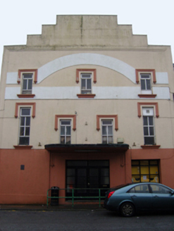 Savoy CinemaCinema · 1.8 mi
Explorer Tom Savoy Cinema in Cordarragh claims there’s a secret tunnel from the back row straight to the local pub for late-night…
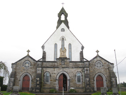 Catholic Church of the Holy FamilyChurch/chapel · 1.8 mi
Explorer Tom Catholic Church of the Holy Family in Cordarragh is all about that slender profile, basically a very tall and skinny…
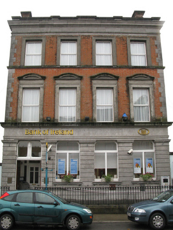 Bank of IrelandBank/financial institution · 1.8 mi
Explorer Tom Bank of Ireland in Kiltamagh would get ‘Here Lies Money’ on its tombstone because it’s seen too many bad investments…
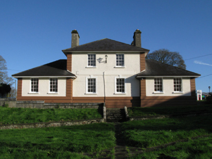 Kiltimagh Cottage HospitalHospital/infirmary · 1.8 mi
Explorer Tom Kiltimagh Cottage Hospital has a legend about a tunnel to the pub so patients could sneak out for pints. It was…
 Maghus Castle and Tir na nÓg PlaygroundChildren's playground · 1.9 mi
Explorer Tom Maghus Castle and Tir na nÓg Playground in County Mayo would order double chips and a mystery sauce at the chipper.…
 CastleCastle, unclassified · 2.4 mi
Explorer Tom Castle in Ballinamore was built on a bargain with a fairy who wanted a pair of boots. The castle vanished when the…
 Fairy fort / earthen ringfort in Ballinlough (clanmorris By.)Fairy fort / earthen ringfort · 5.0 mi
Explorer Tom Fairy fort / earthen ringfort in Ballinlough would tell its younger self to stop slumping near the lake. It’s got a…
 Ballyvary, Ballyvary HurlingGAA ground · 5.3 mi
More archaeology and monuments in County Mayo · All of County Mayo

What do you know about this place?Tap to add a comment or ask a question