What is recorded here
Indicated is a circular earthen fort in County Mayo, preserving faint cultivation ridges and a possible southern entrance within average pasture. Local tradition claims an underground passage exists beneath the rampart, turning ordinary farm land into a hidden chamber. The fort still stands beside wet rush-grown ground, waiting for someone to walk its edge and wonder what it concealed.
In average pasture, located on a rise, with a band of wet, rush-grown ground c. 10m to E–SE.
Raised circular area (35m N–S; 34.5m E–W) defined by a high scarp (Wth slope 3.4m at E, 4.6m at W; H 2.35m at E, 2.45m at W). A property fence on a NE–SW axis crosses the NW edge of the rath. On the NW side of this fence there is a parallel field ditch (Wth 1.8; D 0.45m).
The rath interior is level, traversed by faint relict cultivation ridges on a NE–SW axis. A slumped section (Wth c. 3m) of scarp at SSW that may be the site of an original entrance. According to local tradition, there is a Man-made underground passage (MA091-003001-) in the rath.
Compiled by: Jane O’Shaughnessy
Date of upload: 7 February 2022
The monument record does not grant public access. Check the route and ask the landowner before entering private land.
- What survives
- Recorded monument
Places near here
 Enclosure in BallinamoreEnclosure · 1.1 mi
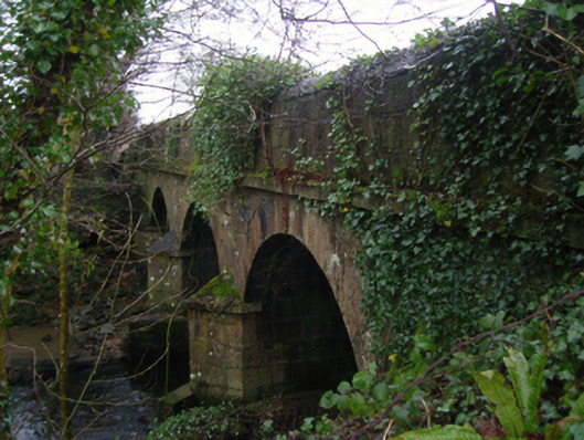 Linban Bridgebridge · 1.3 mi
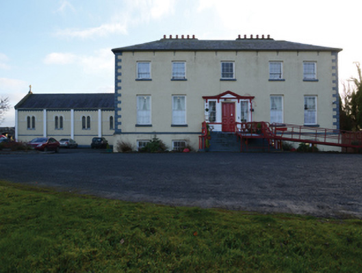 Ballinamore Housecountry house · 1.4 mi
 CashlankeeghCastle, unclassified · 1.5 mi
 Carrowbeg WoodWood · 1.7 mi
 CastleCastle, ringwork · 2.3 mi
 I'll Send You The FareMemorial · 3.6 mi
 Kiltimagh MuseumMuseum · 3.6 mi
 Thorn CaveCave · 6.7 mi
 Land of the GiantsHeritage attraction · 6.9 mi
 East Mayo Brigade MonumentMemorial · 8.9 mi