What is recorded here
In pasture, located on a gentle slope c. 40m SE of a rath (MA080-046001-).
Named ‘St Patrick’s Well’ on the 1838 and 1919 OS 6-inch maps, this consist of a circular sod-covered earth and stone mound (diam. 6-7.5m; H 0.6m) with a shallow central hollow (diam. 0.8-1m; D 0.25m). Unusually, the well is not located at a spring but, according to tradition, utilised water gathered in the hollow of a bullaun stone (MA080-046003-). An account of this was recorded by Knox (1902, 188-9): ‘The well consists of a hollow in a large stone which is slightly below ground level, and has the appearance of being having been built around. The hollow is oval, 17 inches by 15 inches, and 7 inches deep [0.43m by 0.39m by 0.18m]. Although there is no spring, it is said that there is always water in it…The country people say that stations used to be held, marked by wooden crosses, starting from the well and round the rath back to the well.’ When inspected in 1998, there was no trace of the bullaun stone in the central hollow of the mound.
Compiled by: Jane O’Shaughnessy
Date of upload: 3 December 2021
Linked to St. Patrick, the well is traditionally associated with Christian pilgrimage and healing practices. The proximity to a rath suggests a possible overlay of early Christian and prehistoric sacred sites, reflecting the continuity of ritual use in the landscape.
The monument record does not grant public access. Check the route and ask the landowner before entering private land.
- What survives
- Recorded monument
Places near here
 Enclosure in Largan (gallen By.)Enclosure · 706 yd
 Enclosure in BallinamoreEnclosure · 1075 yd
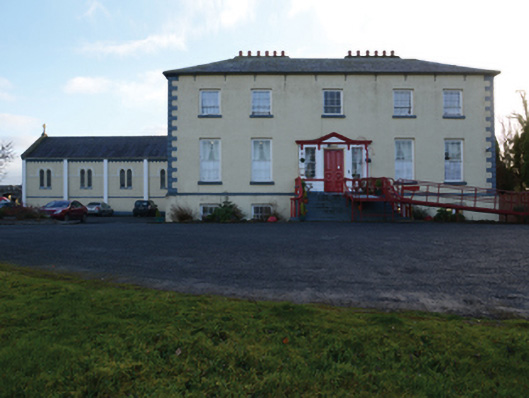 Ballinamore Housecountry house · 1542 yd
 CashlankeeghCastle, unclassified · 1716 yd
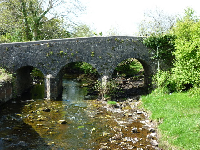
 Ballinamore Bridgebridge · 1.1 mi
 Carrowbeg WoodWood · 1.1 mi
 CastleCastle, ringwork · 3.0 mi
 I'll Send You The FareMemorial · 3.1 mi
 Kiltimagh MuseumMuseum · 3.2 mi
 Knock ShrineHeritage attraction · 6.1 mi
 Thorn CaveCave · 6.1 mi
 East Mayo Brigade MonumentMemorial · 8.8 mi
Other information
Photo: Credit not shown in the picture search · Rights wording not checked; contact us if this picture should be removed