What is recorded here
Indicated is an artificial island in Carrownacon Lough, County Mayo, built from earth and stone large enough for a small dwelling or deliberate ritual. It rises four metres above summer water, with timber posts still standing at its edges and planks buried beneath soil. The lake retreats enough for people to walk across, revealing a made place rather than a natural one. Someone shaped that waterworld, resisted forgetting, and left a boundary marker beneath grass and age.
In NW of Carrownacon Lough, accessed by land during summer. Roughly circular-shaped, artificial island (30m N-S; 28m E-W), constructed of earth and stone, rising 4m above summer lake levels. Stone revetment runs from WSW to E. Heavy soil cover towards top of mound, heavily overgrown. Several upright timber posts delimit mound on E and SW. Three timber planks protrude through earth on SE.
The above description has been derived from D. Lavelle (compiler), An Archaeological Survey of Ballinrobe and District including Lough Mask and Lough Carra. Lough Mask and Lough Carra Tourist Development Association (1994), No. 299.
Attached image:
MA100-054----_01.JPG Viewed from S
Date of upload: 25 January 2013
The monument record does not grant public access. Check the route and ask the landowner before entering private land.
- What survives
- Recorded monument
Places near here
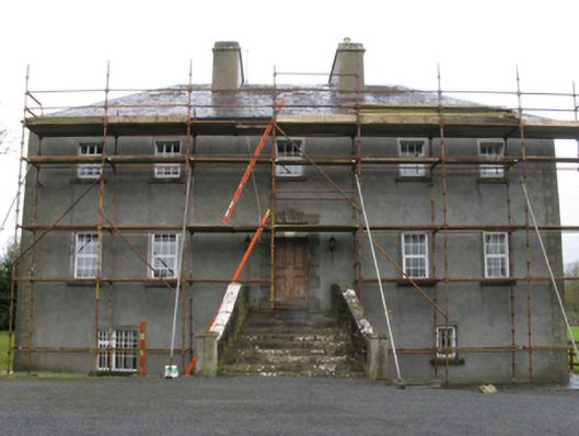 Carrownacon Housefarm house · 370 yd
 IndicatedEnclosure · 600 yd
 Enclosure in ParksEnclosure · 759 yd
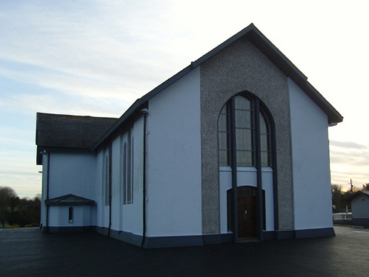 Saint Mary's Catholic Churchchurch/chapel · 1166 yd
 Cerberus, from Thomastown HouseMemorial · 1.5 mi
 Moore Hall Forest TrailWalking route · 1.8 mi
 Lady's IslandIslet · 1.9 mi
 Castleburke in ruinsCastle, tower house · 2.0 mi
 Redgate ParkWood · 2.0 mi
 European hornbeamEuropean hornbeam · 2.0 mi
 Deer IslandIslet · 2.0 mi
 Castle LucasCastle · 2.0 mi