
What is recorded here
From the National Monuments Service (Archaeological Survey of Ireland) record CL026-004
Places near here
Photo credits
- Maker not stated on source page, www.pinterest.com
- Maker not stated on source page, readymap.irish
- Maker not stated on source page, commons.wikimedia.org
- Maker not stated on source page, www.dreamstime.com
- Drow69, Wikimedia Commons
- Maker not stated on source page, au.pinterest.com
- Mike Searle, Wikimedia Commons · CC BY-SA 2.0
- Maker not stated on source page, www.tripadvisor.com.au
- National Inventory of Architectural Heritage
- Maker not stated on source page, www.alamy.com
 Standing stone in CarrownacloghyStanding stone · 263 yd
Explorer Tom Standing stone in Carrownacloghy is where the map makers got confused and drew a mountain that isn’t there. Or maybe…
 Kiltola graveyardGraveyard · 396 yd
Explorer Tom Kiltola graveyard has a curse that only hits people who don't wave when they pass by, which explains why half the…
 Kiltola Church (ruins)Ruins · 406 yd
Explorer Tom Kiltola Church holds the fake world record for 'Most Stones Lying Down in One Place,' which is honestly impressive…
 Fairy fort / stone ringfort in Dromore (inchiquin By.)Fairy fort / stone ringfort · 1181 yd
Explorer Tom Fairy fort / stone ringfort in Dromore is still fuming because the weather kept blowing its hair out of place during a…
 Dromore Wood LoopWalking route · 1215 yd
Explorer Tom Dromore Wood Loop sets off from the nature reserve car park near Ruan and takes you through Clare woodland to lakes, a…
 Megalithic structure in Dromore (inchiquin By.)Megalithic structure · 1467 yd
Explorer Tom Megalithic structure in Dromore has a rivalry with Newgrange because everyone forgets this one exists while they queue…
 Dromore CastleCastle · 1570 yd
Explorer Tom Dromore Castle would review its visitors as 'adequate' because they all stand by the nature reserve car park and take…
Dromore Castle (in ruins)Castle, tower house · 1575 ydExplorer Tom Dromore Castle used to be on an island, which sounds like a very expensive holiday home. Teige built it, probably while…
 DolmenPortal tomb · 1.1 mi
Explorer Tom This dolmen in Moyree Commons would say to the new housing estate nearby that they’re just ‘temporary furniture’ on a…
 Ruan GAA pitchGAA ground · 1.7 mi
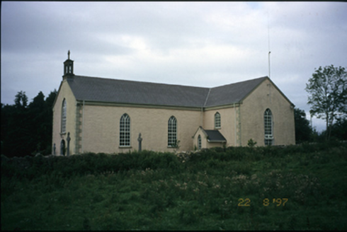 Saint Cronan's Catholic ChurchChurch/chapel · 1.9 mi
Explorer Tom Saint Cronan's Catholic Church in Crusheen has been rebuilt so many times it’s basically a celebrity with a new face…
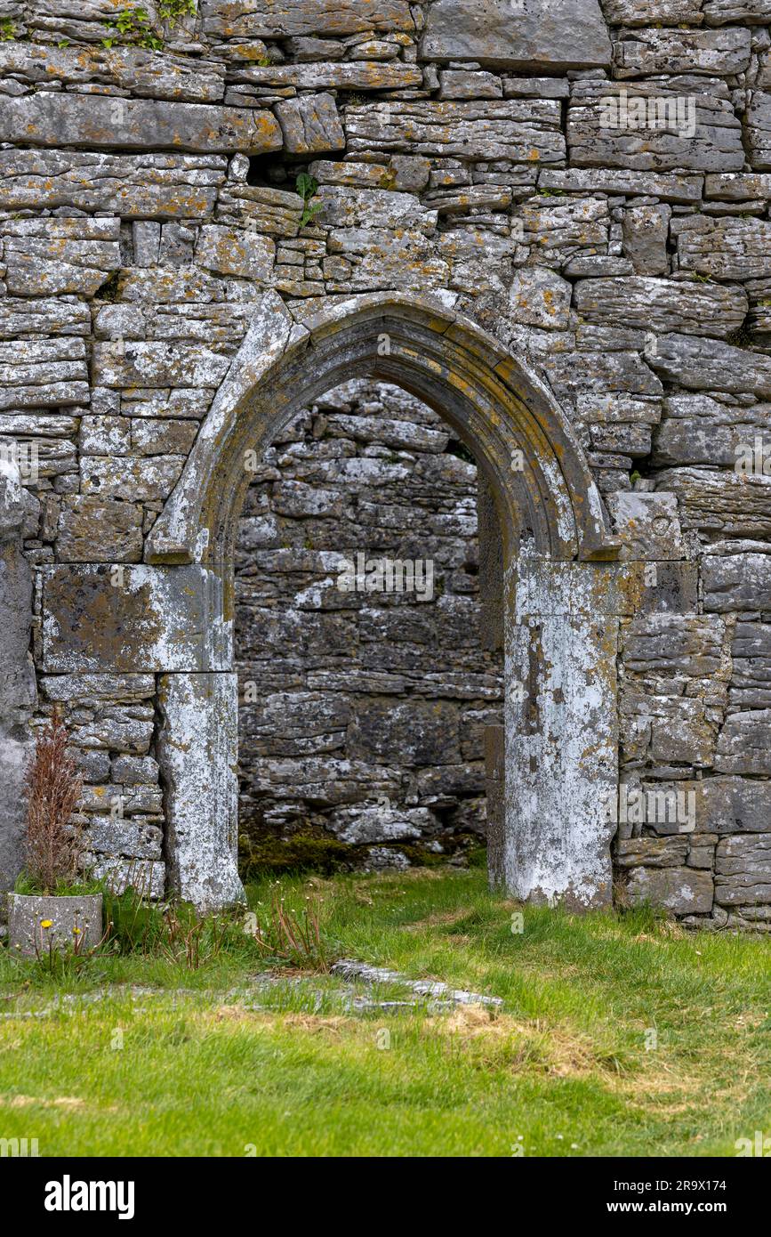 Mapped graveyardGraveyard · 2.0 mi
Explorer Tom Tom says this Mapped graveyard smells like wet wool, old pennies, and regret, but that’s probably just him being…
More archaeology and monuments in County Clare · All of County Clare

What do you know about this place?Tap to add a comment or ask a question