What is recorded here
Marked as an irregularly shaped copse (dims c. 60m NW-SE; c. 40m NE-SW) on the 1837 ed. of the OS 6-inch map and as a circular feature planted with trees (diam. c. 50m) on the 1915 ed. Situated on the crest of a slight E-W ridge in an undulating landscape, it is not visible within a sports field. Archaeological testing (02E0753) to the E failed to recover any related material (Read 2004m). A geophysical survey (14R0120) on the area of a proposed sports pitch immediately to the E produced no definitive indications of activity apart from a possible path (Leigh 2014), and archaeological testing (14E0442) confirmed this as a mix of stones and gravel but produced no other evidence of archaeological features (Byrne 2014). Rath (RO048-043----) is c. 180m to the SW and earthwork (RO048-044----) is c. 80m to the S. See: excavations.ie 2014:252.
Compiled by: Michael Moore
Date of upload: 24 August 2010
Amended: 5 February 2020
The monument record does not grant public access. Check the route and ask the landowner before entering private land.
- What survives
- Recorded monument
Places near here
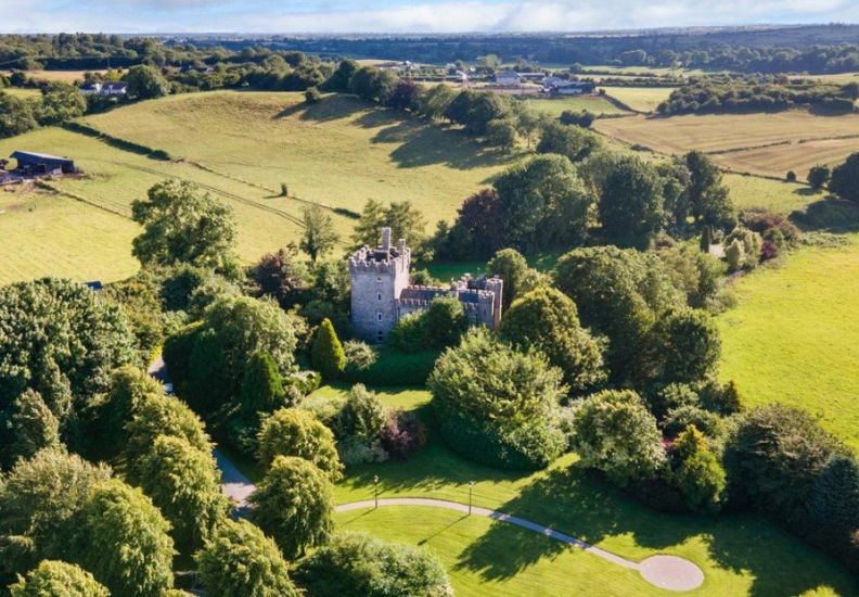 IndicatedFairy fort / earthen ringfort · 229 yd
 Newpark Housecountry house · 375 yd
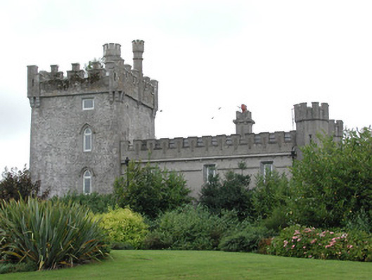 Moyvannan Castlecountry house · 708 yd
 St Patricks WellHoly well · 1193 yd
 Carnagh BayBay · 1630 yd
 Long IslandIslet · 1.2 mi
 Little IslandIslet · 1.2 mi
 Bally BayBay · 1.4 mi
 Curraghboy CastleCastle, unclassified · 3.2 mi
 RindoonWood · 3.8 mi
 Rindown CastleCastle, Anglo-Norman masonry castle · 3.9 mi
 Siege of Athlonesiege · 4.8 mi