What is recorded here
In pasture, located at E end of an E–W spine of elevated ground, surrounded to N, E and S by tracts of bog intermixed with reclaimed grassland. To E, the lowlying bog stretches for c.600m to the River Moy. A derelict farmstead lies immediately to SE. A road skirts the rath at SW–NE.
Raised circular area or platform (30m N–S; 31m E–W) defined by a substantial scarp (H 1.5m at SW, 2.6m at SE). At SW–NW the scarp is topped by a slightly raised earthen rim, suggesting an original bank of width c. 3-3.5m. A field fence merges with the scarp on its NW arc. At E the external slope of the scarp has been cut away slightly, and at SE–S it has been cut to the vertical and faced with drystone walling; these modifications are relatively recent in date, probably relating to the period of habitation of the adjacent farmstead.
The interior is level. At the S there is a ramp-like slope in the scarp, which appears to have been either created or modified relatively recently, but may mark the site of an original entrance.
A heap of field clearance debris is piled against the SW side of the rath.
Compiled by: Jane O’Shaughnessy
Date of upload: 12 June 2020
A local fairy fort (ringfort/rath); wider significance not recorded.
The monument record does not grant public access. Check the route and ask the landowner before entering private land.
- What survives
- Recorded monument
Places near here
 IndicatedEnclosure · 1321 yd
 LisnahuaighFairy fort / stone ringfort · 1.2 mi
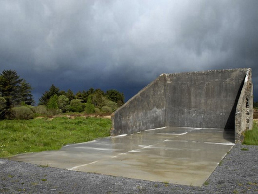 handball alleyhandball alley · 1.4 mi
 Killasser Church (in ruins)Church · 2.3 mi
 Castle (in Ruins)Castle, tower house · 2.5 mi
 HawthornHawthorn · 2.6 mi
 Hennigan's Heritage CentreHeritage attraction · 3.8 mi
 Procession Of The SoulsMemorial · 4.1 mi
 Youth Memorial GardenMemorial · 4.4 mi
 Brabazon WoodsForest · 4.4 mi
 Castle Carragh in RuinsCastle, unclassified · 5.2 mi
 KnockasliggaunMountain / peak · 6.3 mi