What is recorded here
In average pasture, located on a slight rise in gently undulating terrain bordered to W–NW by an extensive tract of bog. Carrowkeribly Lough is c. 450m to S.
Shown on the 1838 OS 6-inch map as a roughly D-shaped embanked enclosure, truncated at NW and NE by field boundaries, and on the 1930 map as an oblong enclosure (c. 35-40m NE–SW; c. 25m NW–SE) bordered at NW and W by a field boundary. OPW Topographic Files record that it was levelled during land reclamation in late 1975 or early 1976 (SMR file). There is no above ground trace. A faint circular cropmark (diam. c. 35m) is visible in current aerial views.
Compiled by: Jane O’Shaughnessy
Date of upload: 1 April 2020
The monument record does not grant public access. Check the route and ask the landowner before entering private land.
- What survives
- Recorded monument
Places near here
 Enclosure in MullaghawnyEnclosure · 1359 yd
 Dermot & Grania's BedArchaeological place · 1421 yd
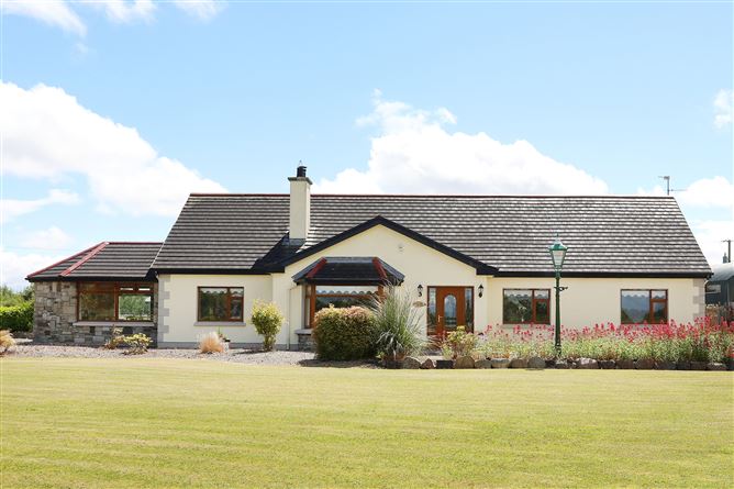
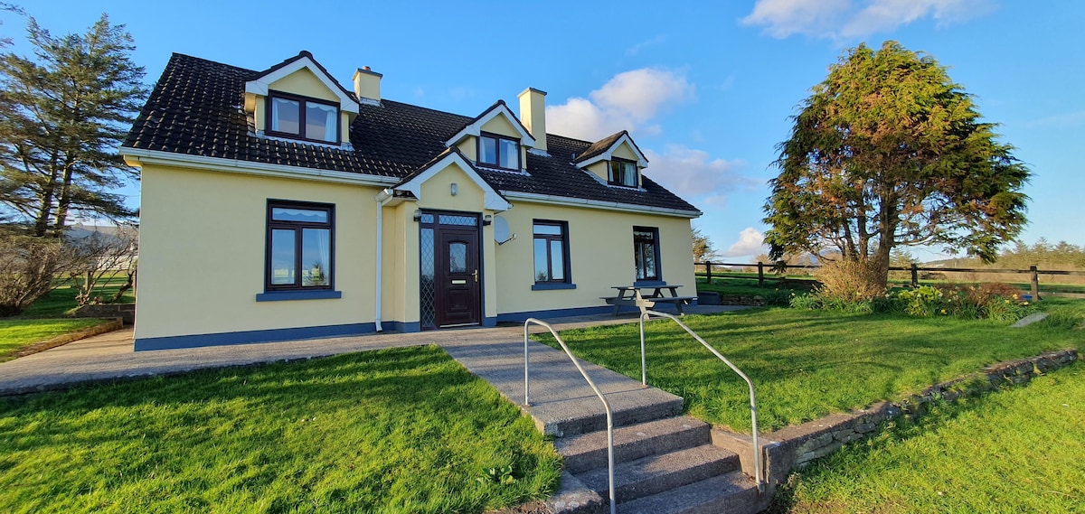
 farm housefarm house · 1492 yd
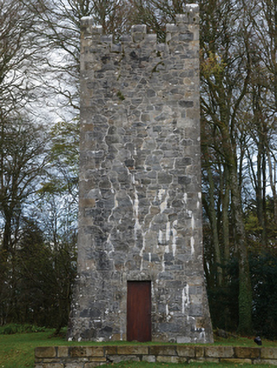 Mount Falconbuilding misc · 1.5 mi
 Castle (in ruins)Castle, unclassified · 2.1 mi
 Gull IslandIslet · 2.4 mi
 Cloghans CastleCastle, tower house · 3.7 mi
 Humbert MonumentMemorial · 4.2 miBattle of Ballinabattle · 4.4 mi
 Drummin ForestForest · 5.0 mi
 Cliff IslandIslet · 5.6 mi
 KnockasliggaunMountain / peak · 6.7 mi