
What is recorded here
Indicated is a fairy fort or earthen ringfort in Carrowkeel (tirerrill By., Riverstown Ed), County Sligo, Ireland. It occupies a large circular area thirty-four metres across near the base of a south-facing slope on a low ridge. An eroded stony earthen bank, one and a half metres wide, encloses the interior, which slopes slightly downward to the south before rising again. The 1838 Ordnance Survey map named the rath Sheep Fold.
Near the base of a S-facing slope of a low ridge. A large circular area (diam. 34m) enclosed by an eroded stony earthen bank (Wth 1.5m; int. H 0.9m; ext. H 0.6m). The interior slopes slightly down to S, where it is slightly raised. The rath is named 'Sheep Fold' on the 1838 OS 6-inch map.
The above description is derived from the published 'Archaeological Inventory of County Sligo' compiled by Ursula Egan, Elizabeth Byrne, Mary Sleeman with Sheila Ronan and Connie Murphy (Dublin Stationery Office, 2005).
Date of upload: 18 January 2008
The monument record does not grant public access. Check the route and ask the landowner before entering private land.
- What survives
- Recorded monument
Places near here
 Sheela-na-gig in BehySheela-na-gig · 459 yd
 Behy Castle (in Ruins)Castle, tower house · 477 yd
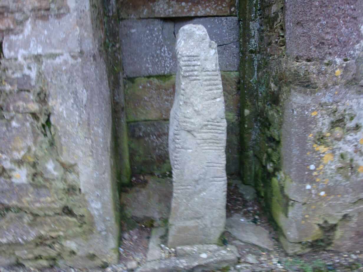 LisdongelaghFairy fort / earthen ringfort · 940 yd
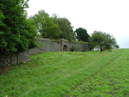 Coopershill Housewalled garden · 1565 yd
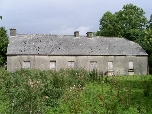 Cloonlurg Househouse · 1588 yd
 Riverstown Folk ParkHeritage attraction · 1.2 mi
 James MorrisonMemorial · 1.3 mi
 Castle Douglas (Site of)Castle, unclassified · 1.7 mi
 School CaveCave · 3.7 mi
 Kesh CorannMountain / peak · 4.2 mi
 European ashEuropean ash · 4.4 mi
 Brother WalfridMemorial · 4.5 mi
Other information
Photo: Credit not shown in the picture search · Rights wording not checked; contact us if this picture should be removed