What is recorded here
Indicated is a fairy fort or earthen ringfort in Carrowhubbuck South, County Sligo, Ireland. The site occupies the NE edge of a ridge overlooking Killala Bay and contains a 28m circular platform surrounded by a wide earthen bank. A shallow western depression may mark an enclosing fosse, while a low internal raised area remains uncertain in function and age.
Situated at the NE edge of a NE-SW ridge at the SE side of Enniscrone village, overlooking Killala Bay. Raised circular platform (diam. 28m) enclosed by a wide earthen bank (Wth 4.5m at NE, 6.3m at SW; int. H 0.6m at NE, 0.85m at SW; ext. H 2.15m at NE, 2.75m at SW). Outside the bank at W–NW there is a shallow depression (Wth c. 2m) which may indicate an enclosing fosse. There is a break (Wth 1.4m) at W but it is not clear if this is an original entrance. Within the NE part of the enclosed area is a low, irregularly-shaped raised area (13.5m E-W; 11.5m N-S; H 0.3-0.6m) of uncertain function and antiquity.
Compiled by: Patrick F. O'Donovan
Date of upload: 19 January 2011
The monument record does not grant public access. Check the route and ask the landowner before entering private land.
- What survives
- Recorded monument
Places near here
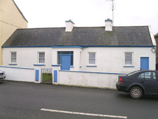 Saint Theresa'shouse · 212 yd
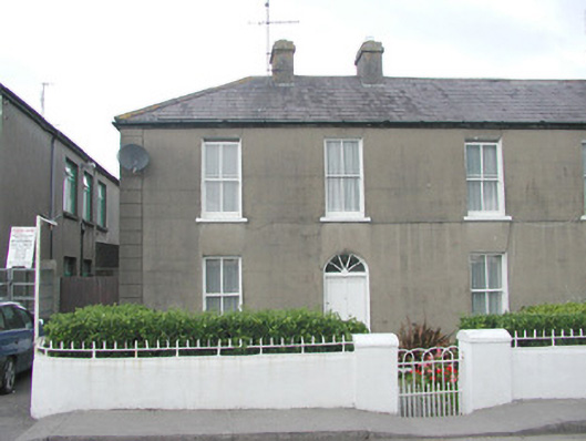 Lorettohouse · 221 yd
 Wild Atlantic Way: Inishcrone PierVisitor information · 1068 yd
 IndicatedFairy fort / earthen ringfort · 1373 yd
 Enclosure in MuckduffEnclosure · 1439 yd
 The Black PigMemorial · 1492 yd
 Grave of the Black PigArchaeological place · 1510 yd
 Enniscrone BeachBeach / strand · 1.0 mi
 Castle FirbisCastle, tower house · 2.2 mi
 Horse IslandIslet · 2.5 mi
 Goose IslandIslet · 2.7 mi
 Rinnachurry PointHeadland · 2.9 mi