What is recorded here
Indicated is a fairy fort or earthen ringfort in Carrowgarry, County Sligo, Ireland. It sits atop a north-south pasture ridge and contains a raised circular area twenty-four metres across. A shallow ditch and outer bank surround the centre, while a western terrace uses natural bedrock for support. A modern roadway destroyed part of the northern and southern platform and outer enclosing elements.
Situated atop a N-S ridge in pasture. Slightly raised circular area (diam. 24m) defined by a scarp (0.7m). At the foot of the scarp is a shallow fosse (Wth 3-4m) with an external bank (Wth 3m; int. H 0.4m; ext. H 0.4m at N, 0.7m at S) at N and S. At W these features merge into a terrace (H 1.5-2.5m; ext. H 1.5-2.5m) which utilises naturally-occurring bedrock in its construction. Six metres from the outer foot of the external bank and terrace are ephemeral remains of a second bank (Wth 3.7m at N, 5.7m at SW; int. H 0.6-0.8m; ext. H 0.9-1.1m) which can be traced at SW-N. From NNE-SSE part of the platform, and the outer enclosing elements, have been destroyed as a consquence of the construction of a modern roadway. Within the enclosed area are a number of hollows, apparently of relatively recent origin.
Compiled by: Patrick F. O'Donovan
Date of upload: 19 January 2011
The monument record does not grant public access. Check the route and ask the landowner before entering private land.
- What survives
- Recorded monument
Places near here
 IndicatedFairy fort / earthen ringfort · 461 yd
 Cross in CarrowcardinCross · 603 yd
 Grave of the Black PigArchaeological place · 815 yd
 The Black PigMemorial · 1456 yd
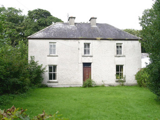 Ashdalehouse · 1629 yd
 Castletown Housecastle/fortified house · 1.1 mi
 Enniscrone BeachBeach / strand · 1.4 mi
 CastleCastle, unclassified · 1.8 mi
 Wild Atlantic Way: Inishcrone PierVisitor information · 1.9 mi
 Goose IslandIslet · 2.1 mi
 Rinnachurry PointHeadland · 2.2 mi
 Horse IslandIslet · 2.4 mi