What is recorded here
On a expanse of wet, heather-covered boggy pasture. Oval-shaped area (26m E-W; 29m N-S) defined by a single line of low stones. The enclosing ring of stones is gapped, with breaks of between 1-3m between the stones for much of the circuit, except for a short stretch at SW where the stones are close-set or contiguous. The stones have an average dimension of 0.4-0.8m and protrude above the ground level to a height of 0.3m. The interior area is not noticeably raised above exterior ground level and is wet and boggy underfoot. Several metres to the SW and W of the monument is a possible field system (SL019-071001-).
Compiled by: Patrick F. O'Donovan
Date of upload: 19 January 2011
The monument record does not grant public access. Check the route and ask the landowner before entering private land.
- What survives
- Recorded monument
Places near here
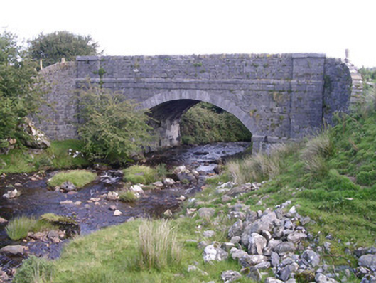 bridgebridge · 288 yd
 IndicatedEnclosure · 950 yd
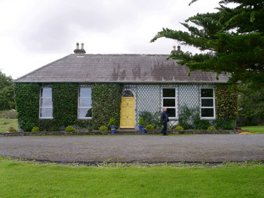 Holy Hill Hermitagehouse · 1643 yd
 Enclosure in Lecarrow (tireragh By., Skreen Ed)Enclosure · 1.1 mi
 Knockalongy North-East TopMountain / peak · 1.2 mi
 KnockalongyMountain / peak · 1.7 mi
 Valley WoodForest · 2.7 mi
 Pigeonpark WoodForest · 2.9 mi
 Bawn in Longford DemesneBawn · 2.9 mi
 Dunmoran StrandBeach / strand · 3.4 mi
 Aughris BeachBeach / strand · 3.7 mi
 Giant's GraveArchaeological place · 3.8 mi