What is recorded here
Situated on a low rise in gently undulating pasture. Slightly raised oval area (dims. 33m E-W; 23.8m N-S) enclosed by a low bank of earth and stone (Wth. 3.8m; int. H 0.3m) with some evidence for internal stone kerbing. At NW and N the defining element is a low scarp with some evidence for external stone kerbing. No fosse. Original entrance not recognisable. The site is divided into approx. equal portions by a ENE-WSW field walls. Abutting the NNW side of this, a short distance W of centre, is an irregularly-shaped pit (dims. c.8m E-W; c.5m N-S - D 0.5m) of unknown significance.
From the National Monuments Service (Archaeological Survey of Ireland) record SL019-096
Places near here
Photo credits
- National Inventory of Architectural Heritage
- Willow, Wikimedia Commons · CC BY 2.5
- Niallio77, Wikimedia Commons · CC BY-SA 3.0
- spezifischer Zeichner : J. E. Walkowitz, Wikimedia Commons · CC BY-SA 3.0
- Colin Park, Geograph · CC BY-SA 2.0
- Oliver Dixon, Geograph · CC BY-SA 2.0
- Enda O Flaherty, Geograph · CC BY-SA 2.0
- Oliver Gargan, Wikimedia Commons · CC BY-SA 4.0
- Jonathan Wilkins, Geograph · CC BY-SA 2.0
- Stephen Armstrong, Wikimedia Commons · CC BY-SA 2.0
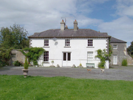 Longford HouseHouse · 1160 yd
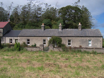 The Swallow LoftChurch/chapel · 1191 yd
 European ash1.2 mi
 CulleenamoreBeach / strand · 3.2 mi
 Cabragh Wedge TombArchaeological place · 3.6 mi
 Dunmoran StrandBeach / strand · 3.7 mi
 Strandhill BeachBeach / strand · 3.8 mi
 The GlenWood · 4.2 mi
 Maeve's CairnArchaeological place · 4.3 mi
 KnocknareaMountain / peak · 4.3 mi
 Knocknarea trailWalking route · 4.5 mi
 Killaspugbrone GraveyardRuins · 4.7 mi
More archaeology and monuments in County Sligo · All of County Sligo

What do you know about this place?Tap to add a comment or ask a question