What is recorded here
Towards E the end of Lough Nahincha (dims. c. 1.2 km E-W; c. 100-300m N-S) where the lake is widest and c. 80m from the shore to the NW and NE. Circular overgrown island of stone, earth and timber (diam. 25m; H 1.5m) with a double wooden palisade visible within the water SW-N together with animal bone deposits. Crannog (RO017-090001-) is c. 60m to the WSW, and crannog (RO017-092----) is c. 90m to the S.
From the National Monuments Service (Archaeological Survey of Ireland) record RO017-091
The monument record does not grant public access. Check the route and ask the landowner before entering private land.
- What survives
- Recorded monument
Places near here
IndicatedFairy fort / earthen ringfort · 382 ydIndicatedFairy fort / stone ringfort · 1337 ydMaguire's WoodForest · 1384 ydCoolnahinch WoodWood · 1479 yd Cloonahee HouseCountry house · 1.1 miGarrymond IslandIslet · 3.0 miSite of Dangan CastleCastle, unclassified · 3.1 miHat IslandIslet · 3.2 miTully LodgeHouse · 3.3 miIndicatedCastle, tower house · 3.5 miPatrick Gill Memorial Plaque (ira)Monument · 5.4 miRobert Strawbridge MemorialMemorial · 5.4 mi
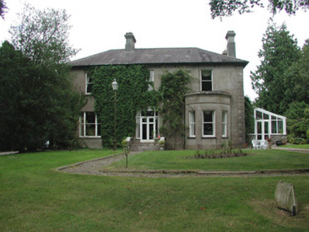 Cloonahee HouseCountry house · 1.1 miGarrymond IslandIslet · 3.0 miSite of Dangan CastleCastle, unclassified · 3.1 miHat IslandIslet · 3.2 mi
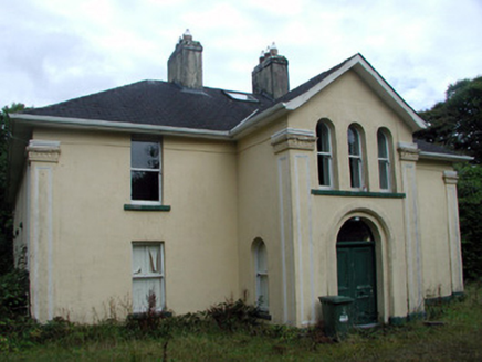 Tully LodgeHouse · 3.3 miIndicatedCastle, tower house · 3.5 miPatrick Gill Memorial Plaque (ira)Monument · 5.4 miRobert Strawbridge MemorialMemorial · 5.4 mi
Pictures: National Inventory of Architectural Heritage
More archaeology and monuments in County Roscommon · All of County Roscommon
What do you know about this place?